-
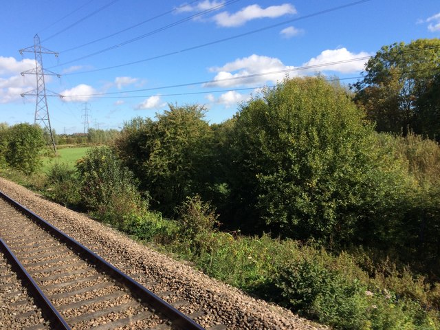
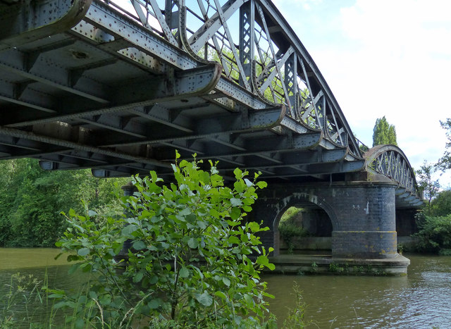
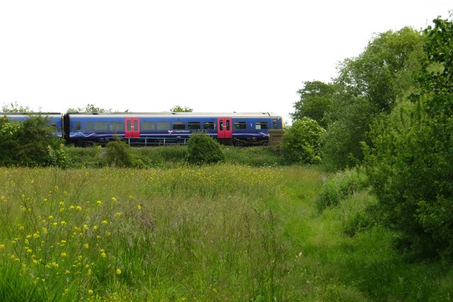
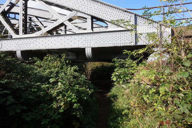
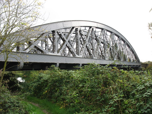
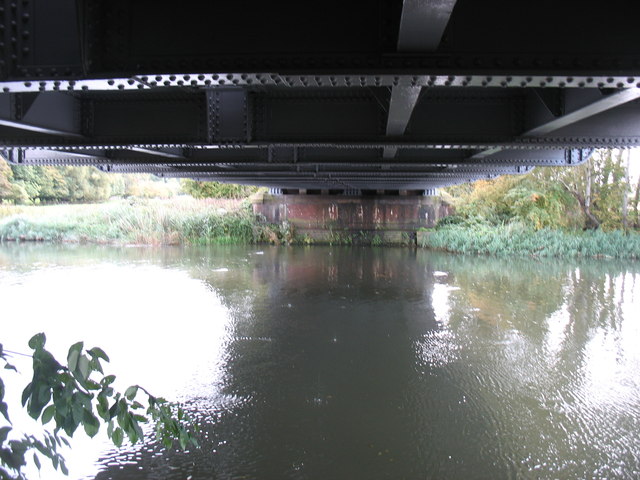
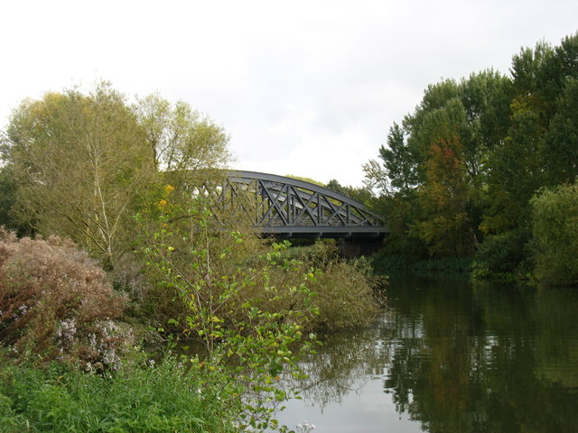
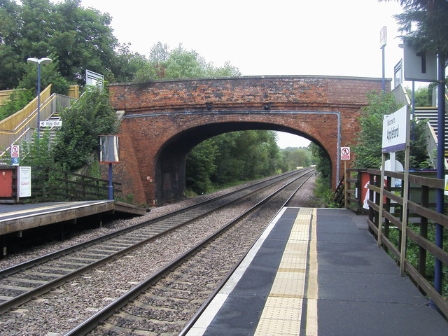
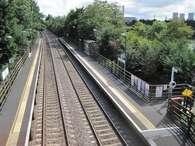
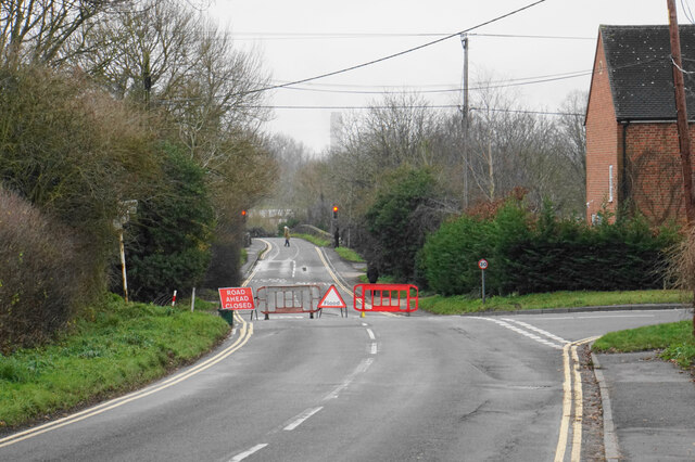
Bridge, Railway Bridge 51.66946, -1.24088 0.97 kms (WSW)
-
Administrative, Civil Parish, Village 51.68673, -1.23852 1.57 kms (NNW) Vale of White Horse Oxfordshire South East England United Kingdom
-
Administrative, Village 51.68481, -1.21114 1.71 kms (NE) Nuneham Courtenay South Oxfordshire Oxfordshire South East England United Kingdom
-
Administrative, Civil Parish, Village 51.65754, -1.21064 2.22 kms (SE) Clifton Hampden South Oxfordshire Oxfordshire South East England United Kingdom
-
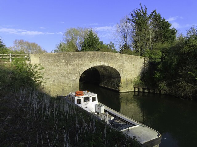
Bridge, Road Bridge, Tertiary 51.6547, -1.21088 2.48 kms (SSE) Clifton Hampden South Oxfordshire Oxfordshire South East England United Kingdom
-
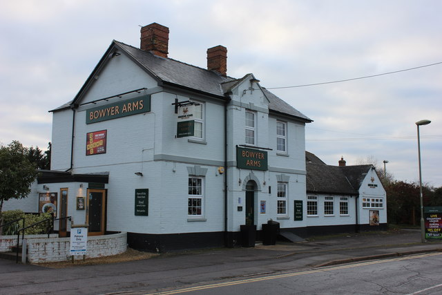
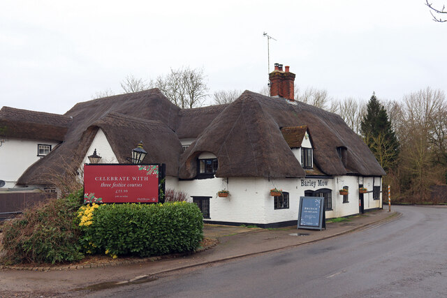
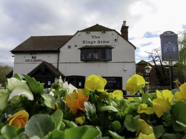
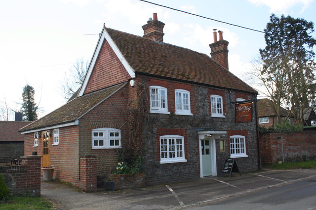
Pub 51.65354, -1.20893 2.66 kms (SSE)
-
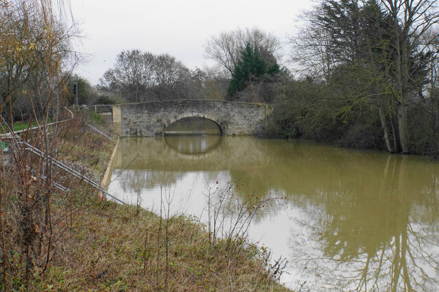
Administrative, Bridge, Road Bridge 51.65629, -1.25507 2.67 kms (SW) Culham South Oxfordshire Oxfordshire South East England United Kingdom
-
Bridge, Railway Bridge 51.64383, -1.24038 3.45 kms (SSW) Vale of White Horse Oxfordshire South East England United Kingdom
-
Hamlet 51.66087, -1.19572 2.71 kms (ESE) Clifton Hampden South Oxfordshire Oxfordshire South East England United Kingdom
-
Administrative, Village 51.63912, -1.24003 3.95 kms (S) Vale of White Horse Oxfordshire South East England United Kingdom
-
Administrative, Civil Parish, Village 51.6411, -1.20979 3.89 kms (SSE) South Oxfordshire Oxfordshire South East England United Kingdom
-
Administrative, Civil Parish, Village 51.71372, -1.21126 4.58 kms (NNE) Sandford-on-Thames South Oxfordshire Oxfordshire South East England United Kingdom
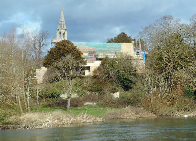
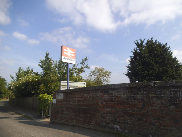
51.67464,-1.22872 28/06/2018 Des Blenkinsopp CC BY-SA 2.0 0.07 kms (N)
51.67491,-1.22987 15/06/2015 Mat Fascione CC BY-SA 2.0 0.13 kms (NW)
51.67517,-1.22798 07/10/2015 David Purchase CC BY-SA 2.0 0.14 kms (NNE)
51.67554,-1.22856 15/06/2015 Mat Fascione CC BY-SA 2.0 0.17 kms (N)

51.6733,-1.23105 15/06/2015 Mat Fascione CC BY-SA 2.0 0.17 kms (WSW)
51.67651,-1.2268 11/10/2020 Ian S CC BY-SA 2.0 0.31 kms (NNE)
51.67714,-1.22679 12/05/2018 Dave Kelly CC BY-SA 2.0 0.38 kms (NNE)
51.67515,-1.2248 15/06/2015 Mat Fascione CC BY-SA 2.0 0.31 kms (ENE)
51.67777,-1.22664 17/11/2018 Wayland Smith CC BY-SA 2.0 0.45 kms (NNE)
51.67224,-1.23324 28/06/2018 Des Blenkinsopp CC BY-SA 2.0 0.36 kms (WSW)
51.67137,-1.23774 07/10/2015 David Purchase CC BY-SA 2.0 0.68 kms (WSW)

51.6702,-1.23761 14/08/2012 Shaun Ferguson CC BY-SA 2.0 0.74 kms (SW)
51.67898,-1.21939 09/02/2018 Bill Nicholls CC BY-SA 2.0 0.86 kms (NE)
51.67907,-1.21938 09/02/2018 Bill Nicholls CC BY-SA 2.0 0.86 kms (NE)
51.67907,-1.21924 09/02/2018 Bill Nicholls CC BY-SA 2.0 0.87 kms (NE)
51.66976,-1.23907 25/06/2011 Philip Halling CC BY-SA 2.0 0.85 kms (SW)
51.67624,-1.23968 22/02/2014 N Chadwick CC BY-SA 2.0 0.79 kms (WNW)
51.67183,-1.23975 22/02/2014 N Chadwick CC BY-SA 2.0 0.79 kms (WSW)
51.67862,-1.21852 09/02/2018 Bill Nicholls CC BY-SA 2.0 0.88 kms (NE)
51.67951,-1.21808 09/02/2018 Bill Nicholls CC BY-SA 2.0 0.96 kms (NE)
51.66986,-1.24022 15/06/2015 Mat Fascione CC BY-SA 2.0 0.91 kms (WSW)
51.67777,-1.24038 22/09/2017 Nigel Thompson CC BY-SA 2.0 0.9 kms (WNW)

51.67969,-1.21807 09/02/2018 Bill Nicholls CC BY-SA 2.0 0.98 kms (NE)
51.68127,-1.23887 15/05/2018 Christopher Hilton CC BY-SA 2.0 1.07 kms (NW)
51.6805,-1.2182 09/02/2018 Bill Nicholls CC BY-SA 2.0 1.03 kms (NE)
51.66959,-1.24051 11/10/2020 Ian S CC BY-SA 2.0 0.94 kms (WSW)
51.68014,-1.21792 09/02/2018 Bill Nicholls CC BY-SA 2.0 1.02 kms (NE)
51.68041,-1.21791 09/02/2018 Bill Nicholls CC BY-SA 2.0 1.04 kms (NE)
51.68041,-1.21791 09/02/2018 Bill Nicholls CC BY-SA 2.0 1.04 kms (NE)
51.68041,-1.21791 09/02/2018 Bill Nicholls CC BY-SA 2.0 1.04 kms (NE)
51.68041,-1.21791 09/02/2018 Bill Nicholls CC BY-SA 2.0 1.04 kms (NE)
51.68288,-1.23798 22/02/2014 N Chadwick CC BY-SA 2.0 1.17 kms (NNW)
51.68122,-1.21819 09/02/2018 Bill Nicholls CC BY-SA 2.0 1.09 kms (NE)
51.6695,-1.24095 15/06/2015 Mat Fascione CC BY-SA 2.0 0.97 kms (WSW)
51.67878,-1.21664 09/02/2018 Bill Nicholls CC BY-SA 2.0 1 kms (ENE)
51.68485,-1.2365 22/02/2014 N Chadwick CC BY-SA 2.0 1.32 kms (NNW)
51.67761,-1.24269 22/02/2014 N Chadwick CC BY-SA 2.0 1.04 kms (WNW)
51.68433,-1.24041 08/09/2019 Roger A Smith CC BY-SA 2.0 1.4 kms (NW)
51.68532,-1.2404 09/09/2009 Nigel Thompson CC BY-SA 2.0 1.49 kms (NNW)
51.6864,-1.23965 03/12/2016 Robert Eva CC BY-SA 2.0 1.57 kms (NNW)
51.68613,-1.24009 03/12/2016 Robert Eva CC BY-SA 2.0 1.56 kms (NNW)
51.67202,-1.24548 24/09/2020 Colin Taylor CC BY-SA 2.0 1.17 kms (W)
51.68596,-1.24125 03/12/2016 Robert Eva CC BY-SA 2.0 1.58 kms (NNW)
51.68721,-1.24022 01/02/2013 Roger Templeman CC BY-SA 2.0 1.67 kms (NNW)
51.68659,-1.2411 30/10/2012 Des Blenkinsopp CC BY-SA 2.0 1.64 kms (NNW)
51.68238,-1.2445 22/02/2014 N Chadwick CC BY-SA 2.0 1.43 kms (NW)
51.68088,-1.24799 22/02/2014 N Chadwick CC BY-SA 2.0 1.53 kms (WNW)

51.67791,-1.24891 23/03/2011 Des Blenkinsopp CC BY-SA 2.0 1.45 kms (WNW)
51.65754,-1.21325 28/12/2020 Bill Boaden CC BY-SA 2.0 2.12 kms (SSE)
51.65994,-1.20945 25/04/2021 Robin Webster CC BY-SA 2.0 2.06 kms (SE)
51.65414,-1.21504 11/03/2021 Des Blenkinsopp CC BY-SA 2.0 2.4 kms (SSE)
51.65351,-1.21592 22/12/2020 Wayland Smith CC BY-SA 2.0 2.44 kms (SSE)
51.65032,-1.22205 15/03/2011 Steve Daniels CC BY-SA 2.0 2.67 kms (S)
51.65466,-1.2133 11/03/2021 Des Blenkinsopp CC BY-SA 2.0 2.4 kms (SSE)
51.65663,-1.2111 28/12/2020 Bill Boaden CC BY-SA 2.0 2.28 kms (SSE)
51.66522,-1.20516 04/02/2012 Stuart Logan CC BY-SA 2.0 1.9 kms (ESE)
51.65555,-1.21155 22/12/2020 Wayland Smith CC BY-SA 2.0 2.37 kms (SSE)
51.66719,-1.20441 26/04/2011 Steve Daniels CC BY-SA 2.0 1.85 kms (ESE)
51.65528,-1.21155 28/12/2020 Bill Boaden CC BY-SA 2.0 2.4 kms (SSE)
51.65581,-1.21039 11/03/2021 Des Blenkinsopp CC BY-SA 2.0 2.39 kms (SSE)
51.65527,-1.21054 28/12/2020 Bill Boaden CC BY-SA 2.0 2.43 kms (SSE)
51.65456,-1.21113 28/12/2020 Bill Boaden CC BY-SA 2.0 2.48 kms (SSE)
51.65814,-1.25054 28/12/2020 Bill Boaden CC BY-SA 2.0 2.31 kms (SW)
51.65393,-1.21071 11/10/2020 Ian S CC BY-SA 2.0 2.56 kms (SSE)
51.66252,-1.20434 30/10/2012 Des Blenkinsopp CC BY-SA 2.0 2.12 kms (SE)
51.65437,-1.20991 22/12/2020 Wayland Smith CC BY-SA 2.0 2.54 kms (SSE)
51.647,-1.22369 19/09/2015 Des Blenkinsopp CC BY-SA 2.0 3.02 kms (S)
51.6678,-1.2015 25/04/2021 Robin Webster CC BY-SA 2.0 2.01 kms (ESE)
51.66295,-1.20275 24/05/2020 Andrew Smith CC BY-SA 2.0 2.18 kms (SE)
51.65356,-1.20898 22/12/2020 Wayland Smith CC BY-SA 2.0 2.65 kms (SSE)
51.65897,-1.25312 28/12/2020 Bill Boaden CC BY-SA 2.0 2.37 kms (SW)
51.64591,-1.2227 15/03/2011 Steve Daniels CC BY-SA 2.0 3.15 kms (S)
51.65771,-1.25271 03/06/2009 Steve Daniels CC BY-SA 2.0 2.45 kms (SW)
51.64555,-1.22198 12/09/2012 Shaun Ferguson CC BY-SA 2.0 3.2 kms (S)
51.64574,-1.23658 22/09/2017 Nigel Thompson CC BY-SA 2.0 3.19 kms (S)
51.66008,-1.2028 22/01/2015 Roger Templeman CC BY-SA 2.0 2.37 kms (SE)
51.66008,-1.2028 22/01/2015 Roger Templeman CC BY-SA 2.0 2.37 kms (SE)
51.64528,-1.22141 15/03/2011 Steve Daniels CC BY-SA 2.0 3.23 kms (S)
51.6443,-1.22388 06/10/2015 David Purchase CC BY-SA 2.0 3.32 kms (S)
51.64402,-1.22215 19/01/2015 Roger Templeman CC BY-SA 2.0 3.36 kms (S)
51.66177,-1.2006 30/10/2012 Des Blenkinsopp CC BY-SA 2.0 2.37 kms (SE)
51.64439,-1.23732 19/09/2015 Des Blenkinsopp CC BY-SA 2.0 3.34 kms (S)
51.64862,-1.2108 11/10/2020 Ian S CC BY-SA 2.0 3.08 kms (SSE)

51.64468,-1.23949 11/10/2020 Ian S CC BY-SA 2.0 3.34 kms (SSW)
51.64853,-1.21066 22/12/2020 Wayland Smith CC BY-SA 2.0 3.1 kms (SSE)
51.64746,-1.21198 12/05/2018 Dave Kelly CC BY-SA 2.0 3.17 kms (SSE)
51.65448,-1.25363 29/05/2016 David Howard CC BY-SA 2.0 2.76 kms (SW)
51.66087,-1.20003 28/12/2020 Bill Boaden CC BY-SA 2.0 2.46 kms (SE)
51.64441,-1.24021 10/06/2015 Steve Daniels CC BY-SA 2.0 3.38 kms (SSW)
51.64515,-1.21534 11/10/2020 Ian S CC BY-SA 2.0 3.34 kms (SSE)
51.64568,-1.21389 11/10/2020 Ian S CC BY-SA 2.0 3.31 kms (SSE)
51.64293,-1.22073 12/05/2018 Dave Kelly CC BY-SA 2.0 3.5 kms (S)
51.64396,-1.24022 11/10/2020 Ian S CC BY-SA 2.0 3.43 kms (SSW)
51.64224,-1.22392 09/07/2013 Shazz CC BY-SA 2.0 3.55 kms (S)
51.64267,-1.2216 11/09/2012 Row17 CC BY-SA 2.0 3.52 kms (S)
51.64249,-1.22218 02/07/2011 Philip Halling CC BY-SA 2.0 3.53 kms (S)
51.64351,-1.23922 10/06/2015 Steve Daniels CC BY-SA 2.0 3.46 kms (S)
51.64351,-1.23922 10/06/2015 Steve Daniels CC BY-SA 2.0 3.46 kms (S)
51.64241,-1.22247 02/07/2011 Philip Halling CC BY-SA 2.0 3.54 kms (S)
51.6425,-1.23605 10/06/2015 Steve Daniels CC BY-SA 2.0 3.54 kms (S)
51.64305,-1.23821 10/06/2015 Steve Daniels CC BY-SA 2.0 3.5 kms (S)
51.64378,-1.24051 06/10/2015 David Purchase CC BY-SA 2.0 3.45 kms (SSW)
51.64378,-1.24051 06/10/2015 David Purchase CC BY-SA 2.0 3.45 kms (SSW)
51.64231,-1.22189 10/06/2015 Steve Daniels CC BY-SA 2.0 3.55 kms (S)
51.64378,-1.24066 06/10/2015 David Purchase CC BY-SA 2.0 3.46 kms (SSW)
51.64231,-1.22175 11/10/2020 Ian S CC BY-SA 2.0 3.56 kms (S)
51.66032,-1.19932 28/12/2020 Bill Boaden CC BY-SA 2.0 2.54 kms (SE)
51.64287,-1.23865 10/06/2015 Steve Daniels CC BY-SA 2.0 3.52 kms (S)
51.64223,-1.23635 10/06/2015 Steve Daniels CC BY-SA 2.0 3.57 kms (S)
51.64222,-1.22132 22/08/2008 Rod Allday CC BY-SA 2.0 3.57 kms (S)
51.70541,-1.21893 04/02/2012 Stuart Logan CC BY-SA 2.0 3.56 kms (N)
51.70605,-1.2195 02/02/2013 Roger Templeman CC BY-SA 2.0 3.62 kms (N)
51.6554,-1.25694 28/12/2020 Bill Boaden CC BY-SA 2.0 2.83 kms (SW)
51.7065,-1.21949 28/07/2018 David Howard CC BY-SA 2.0 3.67 kms (N)
51.70766,-1.23293 06/11/2020 Steve Daniels CC BY-SA 2.0 3.76 kms (N)
51.66112,-1.19728 22/01/2015 Roger Templeman CC BY-SA 2.0 2.6 kms (ESE)
51.70686,-1.21977 11/08/2019 Robin Webster CC BY-SA 2.0 3.71 kms (N)
51.65576,-1.25766 09/12/2010 Roger Templeman CC BY-SA 2.0 2.84 kms (SW)
51.70793,-1.23307 19/03/2021 Steve Daniels CC BY-SA 2.0 3.79 kms (N)
51.66103,-1.19714 22/01/2015 Roger Templeman CC BY-SA 2.0 2.62 kms (ESE)
51.65594,-1.25795 04/07/2008 Des Blenkinsopp CC BY-SA 2.0 2.84 kms (SW)
51.70802,-1.23307 19/03/2021 Steve Daniels CC BY-SA 2.0 3.8 kms (N)
51.70811,-1.23321 19/03/2021 Steve Daniels CC BY-SA 2.0 3.81 kms (N)
51.70838,-1.23234 19/03/2021 Steve Daniels CC BY-SA 2.0 3.83 kms (N)
51.64546,-1.20898 02/02/2014 Wayland Smith CC BY-SA 2.0 3.45 kms (SSE)
51.6555,-1.25839 09/12/2010 Roger Templeman CC BY-SA 2.0 2.89 kms (SW)
51.70865,-1.23262 29/04/2021 Steve Daniels CC BY-SA 2.0 3.86 kms (N)
51.65487,-1.25854 25/06/2011 Philip Halling CC BY-SA 2.0 2.95 kms (SW)
51.64174,-1.24401 22/02/2014 N Chadwick CC BY-SA 2.0 3.74 kms (SSW)
51.70885,-1.22133 18/07/2021 Robin Webster CC BY-SA 2.0 3.91 kms (N)
51.63964,-1.23986 09/07/2013 Shazz CC BY-SA 2.0 3.89 kms (S)
51.65569,-1.26012 16/08/2012 Shaun Ferguson CC BY-SA 2.0 2.97 kms (SW)
51.66057,-1.19512 28/12/2020 Bill Boaden CC BY-SA 2.0 2.76 kms (ESE)
51.65479,-1.2597 04/02/2012 Stuart Logan CC BY-SA 2.0 3.01 kms (SW)
51.63993,-1.24246 17/08/2012 Shaun Ferguson CC BY-SA 2.0 3.9 kms (SSW)
51.63975,-1.24246 29/05/2016 David Howard CC BY-SA 2.0 3.92 kms (SSW)
51.63893,-1.2403 29/05/2016 David Howard CC BY-SA 2.0 3.98 kms (S)
51.64161,-1.21092 19/03/2016 Bill Nicholls CC BY-SA 2.0 3.81 kms (SSE)
51.64205,-1.21005 19/03/2016 Bill Nicholls CC BY-SA 2.0 3.78 kms (SSE)
51.64241,-1.20932 15/10/2019 Stefan Czapski CC BY-SA 2.0 3.76 kms (SSE)
51.64045,-1.21282 03/03/2018 Wayland Smith CC BY-SA 2.0 3.89 kms (SSE)
51.6425,-1.20903 19/03/2016 Bill Nicholls CC BY-SA 2.0 3.76 kms (SSE)
51.6425,-1.20903 19/03/2016 Bill Nicholls CC BY-SA 2.0 3.76 kms (SSE)
51.64241,-1.20903 02/02/2014 Wayland Smith CC BY-SA 2.0 3.77 kms (SSE)
51.64241,-1.20903 15/10/2019 Stefan Czapski CC BY-SA 2.0 3.77 kms (SSE)
51.64249,-1.20874 21/03/2020 David Kemp CC BY-SA 2.0 3.77 kms (SSE)
51.64012,-1.24462 29/05/2016 David Howard CC BY-SA 2.0 3.92 kms (SSW)
51.64205,-1.20933 19/03/2016 Bill Nicholls CC BY-SA 2.0 3.8 kms (SSE)
51.64205,-1.20933 19/03/2016 Bill Nicholls CC BY-SA 2.0 3.8 kms (SSE)
51.6424,-1.20874 21/03/2020 David Kemp CC BY-SA 2.0 3.77 kms (SSE)
51.63903,-1.2153 29/03/2016 Roger Templeman CC BY-SA 2.0 4 kms (SSE)
51.63912,-1.24276 16/07/2011 Nigel Thompson CC BY-SA 2.0 3.99 kms (SSW)
51.71144,-1.2333 19/03/2021 Steve Daniels CC BY-SA 2.0 4.18 kms (N)
51.71144,-1.23345 19/03/2021 Steve Daniels CC BY-SA 2.0 4.18 kms (N)
51.63813,-1.21684 01/06/1986 Antony Ewart Smith CC BY-SA 2.0 4.07 kms (SSE)
51.63956,-1.21313 29/03/2016 Roger Templeman CC BY-SA 2.0 3.98 kms (SSE)
51.63956,-1.21313 29/03/2016 Roger Templeman CC BY-SA 2.0 3.98 kms (SSE)
51.63785,-1.24076 22/08/2020 Robin Webster CC BY-SA 2.0 4.1 kms (S)
51.64088,-1.20992 22/04/2020 Roger Templeman CC BY-SA 2.0 3.9 kms (SSE)
51.64088,-1.20992 29/03/2016 Roger Templeman CC BY-SA 2.0 3.9 kms (SSE)
51.6548,-1.26187 25/04/2021 Robin Webster CC BY-SA 2.0 3.12 kms (SW)
51.63752,-1.21735 29/03/2016 Roger Templeman CC BY-SA 2.0 4.13 kms (SSE)
51.64035,-1.21066 26/12/2013 Chris Andrews CC BY-SA 2.0 3.94 kms (SSE)
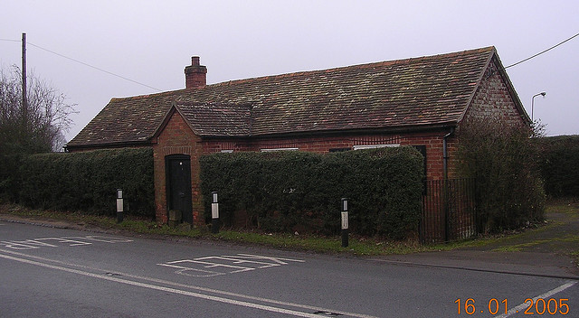
51.65476,-1.2619 16/01/2005 Alan Rosevear CC BY-SA 2.0 3.13 kms (SW)
51.6548,-1.26201 29/05/2016 David Howard CC BY-SA 2.0 3.13 kms (SW)
51.63986,-1.24636 25/02/2012 Roger Templeman CC BY-SA 2.0 3.98 kms (SSW)
51.66082,-1.19281 22/01/2015 Roger Templeman CC BY-SA 2.0 2.88 kms (ESE)
51.66082,-1.19281 22/01/2015 Roger Templeman CC BY-SA 2.0 2.88 kms (ESE)
51.64106,-1.20905 15/10/2019 Stefan Czapski CC BY-SA 2.0 3.91 kms (SSE)
51.71216,-1.23314 19/03/2021 Steve Daniels CC BY-SA 2.0 4.26 kms (N)
51.63658,-1.2389 19/03/2016 Bill Nicholls CC BY-SA 2.0 4.22 kms (S)
51.63724,-1.21548 22/04/2020 Roger Templeman CC BY-SA 2.0 4.19 kms (SSE)
51.7117,-1.21853 02/06/2009 Steve Daniels CC BY-SA 2.0 4.25 kms (N)
51.7117,-1.21752 06/04/2013 Graham Horn CC BY-SA 2.0 4.27 kms (N)
51.71251,-1.21837 02/06/2009 Steve Daniels CC BY-SA 2.0 4.34 kms (N)
51.71114,-1.2142 13/11/2011 Andrew Smith CC BY-SA 2.0 4.25 kms (NNE)
51.67121,-1.26883 11/10/2020 Ian S CC BY-SA 2.0 2.78 kms (W)
51.63989,-1.24997 29/05/2016 David Howard CC BY-SA 2.0 4.06 kms (SSW)
51.71287,-1.2175 09/05/2010 Des Blenkinsopp CC BY-SA 2.0 4.39 kms (N)
51.71305,-1.21793 06/04/2013 Graham Horn CC BY-SA 2.0 4.41 kms (N)
51.71231,-1.21548 06/04/2013 Graham Horn CC BY-SA 2.0 4.36 kms (NNE)
51.65455,-1.26505 28/12/2020 Bill Boaden CC BY-SA 2.0 3.3 kms (SW)
51.71321,-1.21576 09/05/2010 Des Blenkinsopp CC BY-SA 2.0 4.45 kms (N)
51.65365,-1.26492 28/12/2020 Bill Boaden CC BY-SA 2.0 3.36 kms (SW)
51.6349,-1.24297 22/02/2014 N Chadwick CC BY-SA 2.0 4.45 kms (SSW)
51.63482,-1.24514 22/02/2014 N Chadwick CC BY-SA 2.0 4.5 kms (SSW)

51.65384,-1.26622 28/12/2020 Bill Boaden CC BY-SA 2.0 3.42 kms (SW)
51.71236,-1.20926 28/06/2009 Shaun Ferguson CC BY-SA 2.0 4.48 kms (NNE)
51.65189,-1.26592 15/07/2019 J Blemings CC BY-SA 2.0 3.55 kms (SW)
51.65177,-1.26625 28/12/2020 Bill Boaden CC BY-SA 2.0 3.57 kms (SW)
51.71317,-1.20968 06/04/2013 Graham Horn CC BY-SA 2.0 4.55 kms (NNE)
51.65051,-1.26613 18/04/2021 Steve Daniels CC BY-SA 2.0 3.66 kms (SW)
51.64988,-1.26585 28/12/2020 Bill Boaden CC BY-SA 2.0 3.7 kms (SW)
51.65051,-1.26627 28/12/2020 Bill Boaden CC BY-SA 2.0 3.67 kms (SW)
51.65034,-1.26743 18/04/2021 Steve Daniels CC BY-SA 2.0 3.74 kms (SW)
51.65052,-1.26757 18/04/2021 Steve Daniels CC BY-SA 2.0 3.73 kms (SW)
51.65034,-1.26758 18/04/2021 Steve Daniels CC BY-SA 2.0 3.75 kms (SW)
51.65025,-1.26801 18/04/2021 Steve Daniels CC BY-SA 2.0 3.78 kms (SW)
51.65034,-1.2683 28/12/2020 Bill Boaden CC BY-SA 2.0 3.78 kms (SW)
51.65017,-1.26859 18/04/2021 Steve Daniels CC BY-SA 2.0 3.81 kms (SW)