-
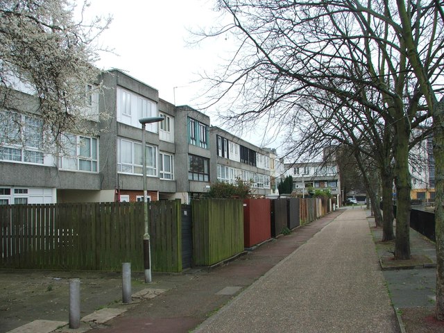
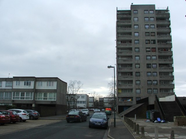
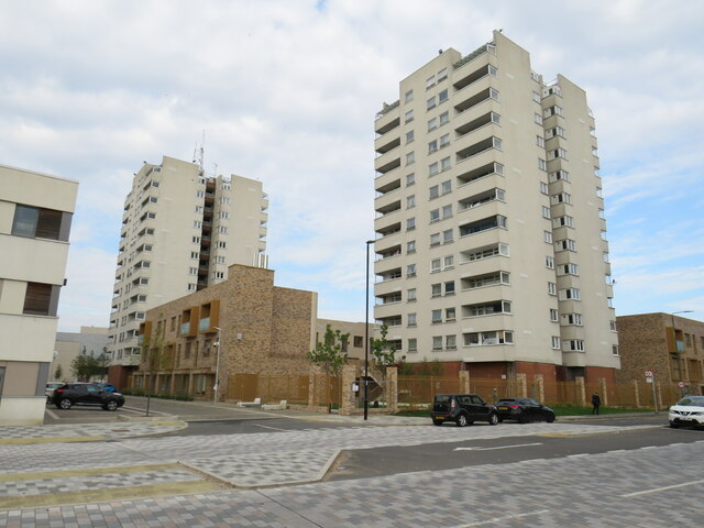
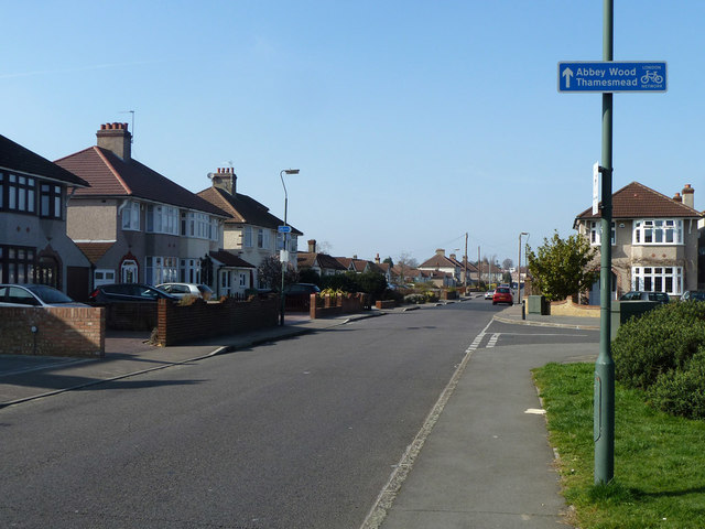
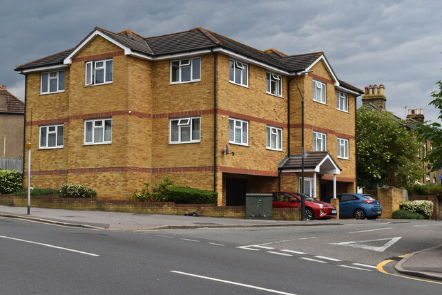
Suburb 51.49893, 0.11485 1.47 kms (SSE) Thamesmead London Greater London United Kingdom
-
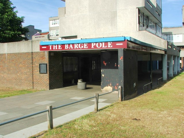
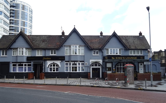
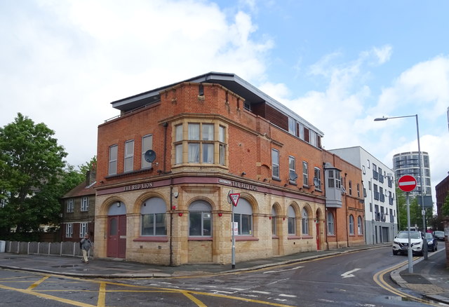
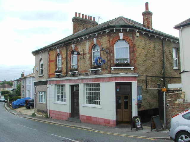
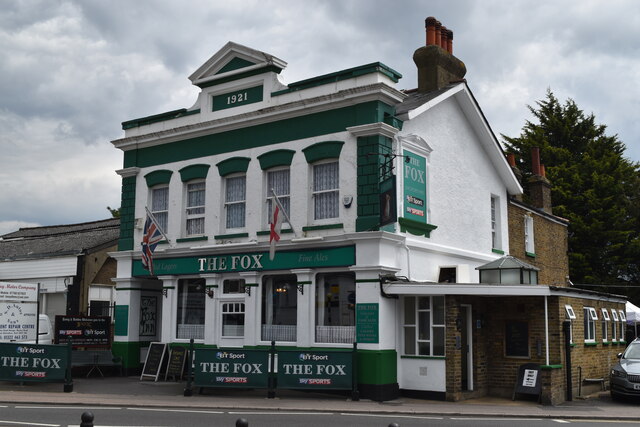
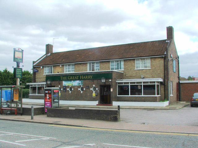
Pub 51.49775, 0.11486 1.6 kms (SSE) London Greater London United Kingdom
-
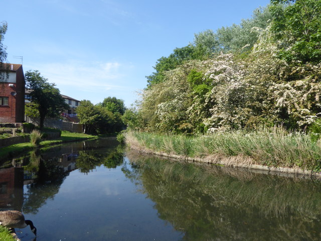
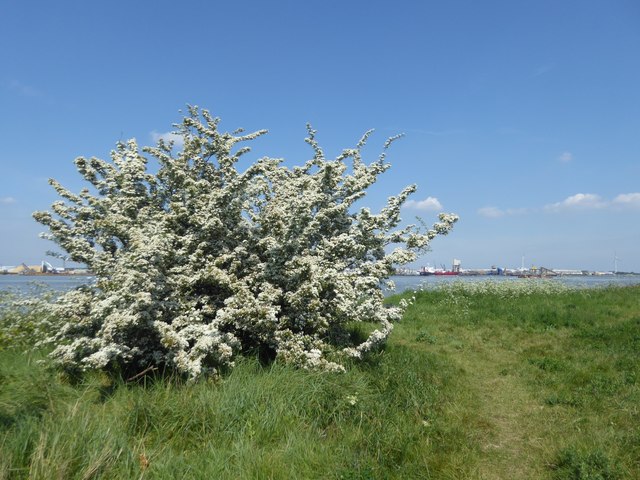
Cape 51.50912, 0.09204 1.2 kms (WSW) Royal Borough of Greenwich London Greater London United Kingdom
-
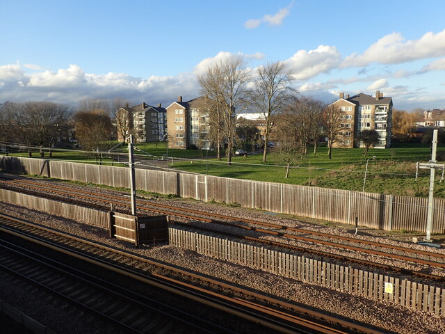
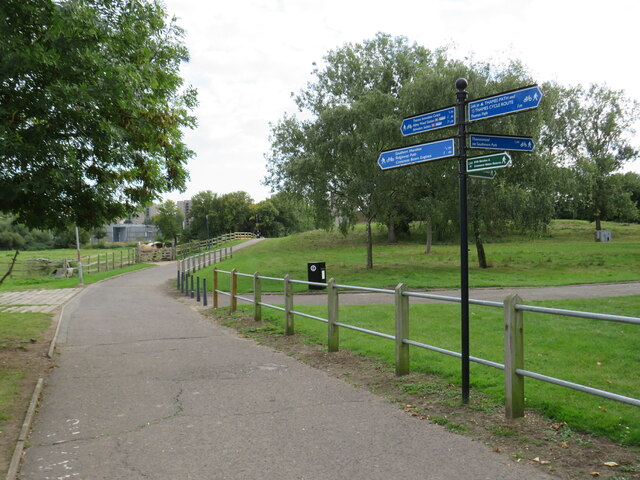
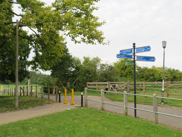
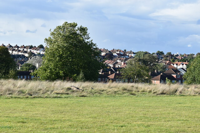
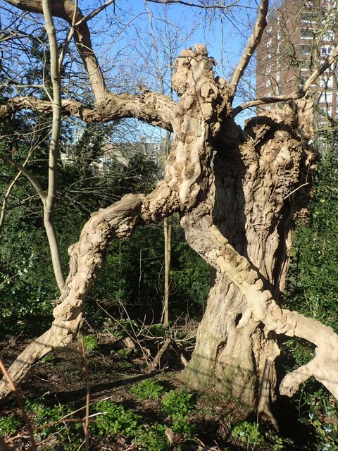
Park 51.50389, 0.09147 1.48 kms (SW) Abbey Wood London Greater London United Kingdom
-
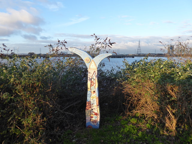
Cape 51.51339, 0.12867 1.38 kms (E) London Borough of Bexley London Greater London United Kingdom
-
Peak 51.50213, 0.09142 1.61 kms (SW) Greater London United Kingdom
-
Pub 51.49565, 0.12166 1.99 kms (SSE)
-
Pub 51.48563, 0.09968 2.96 kms (SSW)
-
Pub 51.47536, 0.10861 4.04 kms (S)
-
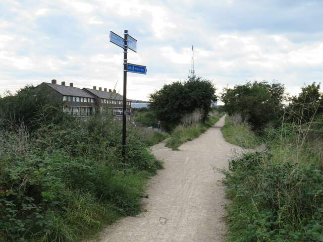
Foot Bridge, Station 51.50896, 0.07179 2.59 kms (W) Cyprus London Greater London United Kingdom
-
Pub 51.53534, 0.07968 3.32 kms (NW)
-
Pub 51.48896, 0.14282 3.45 kms (SE)
-
Ferry Terminal, Pier 51.49589, 0.07105 3.15 kms (SW) Royal Borough of Greenwich London Greater London United Kingdom
-
Pub 51.48083, 0.07897 4 kms (SSW)
-
Pub 51.48415, 0.14302 3.86 kms (SE)
-
Pub 51.48366, 0.14335 3.92 kms (SE)
-
Pub 51.54091, 0.07448 4.03 kms (NW)
-
Pub 51.48245, 0.14626 4.15 kms (SE)
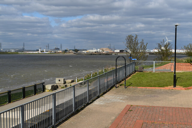
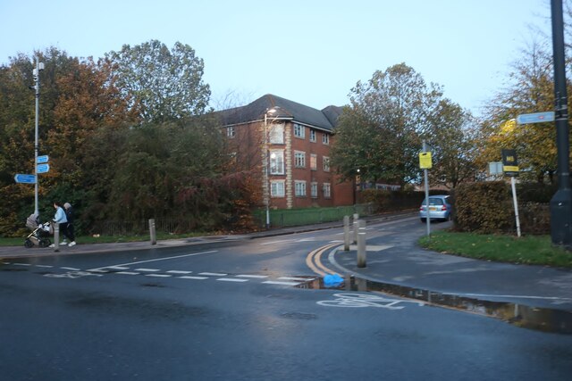
51.50943,0.10763 19/11/2017 Malc McDonald CC BY-SA 2.0 0.26 kms (SSW)
51.51418,0.10829 30/06/2011 Robin Webster CC BY-SA 2.0 0.29 kms (N)
51.51459,0.11047 15/05/2020 Marathon CC BY-SA 2.0 0.34 kms (NNE)
51.51515,0.10948 30/06/2011 Robin Webster CC BY-SA 2.0 0.39 kms (N)
51.50937,0.10619 19/11/2017 Malc McDonald CC BY-SA 2.0 0.32 kms (SW)
51.507,0.10767 20/04/2020 Marathon CC BY-SA 2.0 0.52 kms (S)
51.50701,0.10723 20/04/2020 Marathon CC BY-SA 2.0 0.53 kms (SSW)
51.50858,0.10471 20/04/2020 Marathon CC BY-SA 2.0 0.45 kms (SW)
51.5155,0.10489 31/10/2020 David Howard CC BY-SA 2.0 0.51 kms (NW)
51.516,0.11255 30/06/2011 Robin Webster CC BY-SA 2.0 0.54 kms (NNE)
51.50823,0.10426 15/05/2020 Marathon CC BY-SA 2.0 0.5 kms (SW)
51.51758,0.1096 30/03/2019 David Kemp CC BY-SA 2.0 0.66 kms (N)
51.51551,0.10431 21/10/2018 Malc McDonald CC BY-SA 2.0 0.53 kms (NW)
51.50564,0.10818 20/04/2020 Marathon CC BY-SA 2.0 0.67 kms (S)
51.51436,0.10325 26/08/2019 Thomas Nugent CC BY-SA 2.0 0.49 kms (NW)
51.5184,0.10863 26/08/2019 Thomas Nugent CC BY-SA 2.0 0.75 kms (N)
51.5158,0.10332 21/10/2018 Malc McDonald CC BY-SA 2.0 0.6 kms (NW)
51.51817,0.1115 21/10/2018 Malc McDonald CC BY-SA 2.0 0.75 kms (NNE)
51.50794,0.1152 29/03/2021 Marathon CC BY-SA 2.0 0.6 kms (SE)
51.50736,0.10278 20/04/2020 Marathon CC BY-SA 2.0 0.64 kms (SW)
51.51823,0.11309 31/10/2020 David Howard CC BY-SA 2.0 0.79 kms (NNE)
51.51702,0.11562 30/06/2011 Robin Webster CC BY-SA 2.0 0.76 kms (NE)
51.50315,0.11167 24/04/2020 Marathon CC BY-SA 2.0 0.96 kms (SSE)
51.50306,0.11166 24/04/2020 Marathon CC BY-SA 2.0 0.97 kms (SSE)
51.51856,0.11483 31/10/2020 David Howard CC BY-SA 2.0 0.87 kms (NNE)
51.51755,0.11594 30/06/2011 Robin Webster CC BY-SA 2.0 0.82 kms (NE)
51.50295,0.11267 24/04/2020 Marathon CC BY-SA 2.0 1 kms (SSE)
51.50295,0.1131 24/04/2020 Marathon CC BY-SA 2.0 1.01 kms (SSE)
51.50286,0.11295 24/04/2020 Marathon CC BY-SA 2.0 1.02 kms (SSE)
51.51818,0.11625 21/10/2018 Malc McDonald CC BY-SA 2.0 0.89 kms (NE)
51.51936,0.11544 10/05/2020 Glyn Baker CC BY-SA 2.0 0.97 kms (NNE)
51.5167,0.11849 10/05/2020 Glyn Baker CC BY-SA 2.0 0.87 kms (NE)
51.52278,0.10537 13/10/2012 Charence Wong CC BY-SA 2.0 1.26 kms (NNW)
51.52078,0.11638 31/10/2020 David Howard CC BY-SA 2.0 1.14 kms (NNE)
51.52276,0.11632 31/10/2020 David Howard CC BY-SA 2.0 1.34 kms (NNE)

51.50284,0.09883 22/03/2015 Chris Whippet CC BY-SA 2.0 1.2 kms (SW)
51.52267,0.11661 31/10/2020 David Howard CC BY-SA 2.0 1.34 kms (NNE)
51.49796,0.11028 19/04/2015 Stephen Craven CC BY-SA 2.0 1.52 kms (S)
51.49905,0.1145 19/04/2015 Stephen Craven CC BY-SA 2.0 1.45 kms (SSE)
51.50903,0.09508 11/04/2020 Marathon CC BY-SA 2.0 1 kms (WSW)
51.49947,0.11625 19/04/2016 Marathon CC BY-SA 2.0 1.45 kms (SSE)
51.49739,0.10722 19/04/2015 Stephen Craven CC BY-SA 2.0 1.59 kms (S)
51.49757,0.11227 19/04/2015 Stephen Craven CC BY-SA 2.0 1.58 kms (S)
51.49714,0.11081 19/04/2015 Stephen Craven CC BY-SA 2.0 1.62 kms (S)
51.49876,0.11593 19/04/2015 Stephen Craven CC BY-SA 2.0 1.51 kms (SSE)
51.49647,0.10805 19/04/2015 Stephen Craven CC BY-SA 2.0 1.69 kms (S)
51.49742,0.11515 18/09/2021 Malc McDonald CC BY-SA 2.0 1.64 kms (SSE)
51.5128,0.12494 25/04/2021 David Martin CC BY-SA 2.0 1.12 kms (E)
51.4958,0.10528 18/09/2021 Malc McDonald CC BY-SA 2.0 1.78 kms (S)
51.51091,0.12529 08/05/2020 Marathon CC BY-SA 2.0 1.14 kms (E)
51.50898,0.09263 01/01/2019 Marathon CC BY-SA 2.0 1.17 kms (WSW)
51.52635,0.11692 31/10/2020 David Howard CC BY-SA 2.0 1.73 kms (NNE)
51.50881,0.09219 19/11/2017 Malc McDonald CC BY-SA 2.0 1.2 kms (WSW)
51.51333,0.12583 08/05/2020 Marathon CC BY-SA 2.0 1.19 kms (E)
51.5089,0.09205 19/11/2017 Malc McDonald CC BY-SA 2.0 1.21 kms (WSW)
51.51296,0.12625 08/05/2020 Marathon CC BY-SA 2.0 1.21 kms (E)
51.50322,0.09279 12/04/2016 David Martin CC BY-SA 2.0 1.46 kms (SW)
51.4948,0.11589 12/04/2016 David Martin CC BY-SA 2.0 1.93 kms (SSE)
51.50449,0.09199 11/04/2020 Marathon CC BY-SA 2.0 1.42 kms (SW)
51.50196,0.09303 12/04/2016 David Martin CC BY-SA 2.0 1.54 kms (SW)
51.50287,0.09235 20/03/2015 Marathon CC BY-SA 2.0 1.51 kms (SW)
51.50794,0.09027 01/01/2019 Marathon CC BY-SA 2.0 1.35 kms (WSW)
51.50188,0.09259 12/04/2016 David Martin CC BY-SA 2.0 1.57 kms (SW)
51.49342,0.10301 14/03/2012 Robin Webster CC BY-SA 2.0 2.07 kms (S)
51.49669,0.12117 22/03/2015 Chris Whippet CC BY-SA 2.0 1.87 kms (SSE)
51.49223,0.10871 14/03/2012 Robin Webster CC BY-SA 2.0 2.16 kms (S)
51.51319,0.12842 08/05/2020 Marathon CC BY-SA 2.0 1.36 kms (E)
51.51319,0.12842 08/05/2020 Marathon CC BY-SA 2.0 1.36 kms (E)
51.50361,0.09108 20/06/2021 David Martin CC BY-SA 2.0 1.52 kms (SW)
51.5131,0.12856 25/04/2021 David Martin CC BY-SA 2.0 1.37 kms (E)
51.49888,0.12401 22/03/2015 Chris Whippet CC BY-SA 2.0 1.76 kms (SE)
51.49913,0.12503 22/03/2015 Chris Whippet CC BY-SA 2.0 1.78 kms (SE)
51.49128,0.10694 05/02/2021 Marathon CC BY-SA 2.0 2.27 kms (S)
51.51308,0.12942 08/05/2020 Marathon CC BY-SA 2.0 1.43 kms (E)
51.49498,0.12123 06/07/2015 Chris Whippet CC BY-SA 2.0 2.04 kms (SSE)
51.4963,0.12288 18/09/2021 Malc McDonald CC BY-SA 2.0 1.96 kms (SSE)
51.50277,0.12779 18/09/2021 Malc McDonald CC BY-SA 2.0 1.64 kms (SE)
51.49172,0.1025 14/03/2012 Robin Webster CC BY-SA 2.0 2.26 kms (S)
51.50277,0.12793 18/09/2021 Malc McDonald CC BY-SA 2.0 1.65 kms (SE)
51.50337,0.08963 12/04/2016 David Martin CC BY-SA 2.0 1.62 kms (SW)
51.49061,0.10922 05/02/2021 Marathon CC BY-SA 2.0 2.34 kms (S)
51.49067,0.11095 14/03/2012 Robin Webster CC BY-SA 2.0 2.34 kms (S)
51.49054,0.10777 22/03/2015 Chris Whippet CC BY-SA 2.0 2.35 kms (S)
51.49048,0.10618 05/02/2021 Marathon CC BY-SA 2.0 2.36 kms (S)
51.50321,0.12853 18/09/2021 Malc McDonald CC BY-SA 2.0 1.65 kms (SE)
51.49049,0.10575 14/03/2012 Robin Webster CC BY-SA 2.0 2.36 kms (S)
51.49049,0.10561 14/03/2012 Robin Webster CC BY-SA 2.0 2.36 kms (S)
51.50142,0.12816 14/06/2021 Marathon CC BY-SA 2.0 1.75 kms (SE)
51.50275,0.08888 20/06/2021 David Martin CC BY-SA 2.0 1.7 kms (SW)
51.50078,0.12827 14/06/2021 Marathon CC BY-SA 2.0 1.8 kms (SE)
51.5006,0.12841 14/06/2021 Marathon CC BY-SA 2.0 1.82 kms (SE)
51.49326,0.12187 06/07/2015 Chris Whippet CC BY-SA 2.0 2.23 kms (SSE)
51.50033,0.1284 14/06/2021 Marathon CC BY-SA 2.0 1.84 kms (SE)
51.48929,0.11218 30/12/2017 Malc McDonald CC BY-SA 2.0 2.5 kms (S)
51.49989,0.12823 14/06/2021 Marathon CC BY-SA 2.0 1.87 kms (SE)
51.49917,0.12791 18/09/2021 Malc McDonald CC BY-SA 2.0 1.91 kms (SE)
51.48889,0.10971 22/03/2015 Chris Whippet CC BY-SA 2.0 2.53 kms (S)
51.4929,0.12185 06/07/2015 Chris Whippet CC BY-SA 2.0 2.27 kms (SSE)
51.48882,0.1087 22/03/2015 Chris Whippet CC BY-SA 2.0 2.54 kms (S)
51.48884,0.10769 22/03/2015 Chris Whippet CC BY-SA 2.0 2.54 kms (S)
51.48927,0.11362 30/12/2017 Malc McDonald CC BY-SA 2.0 2.51 kms (S)
51.49113,0.12004 22/05/2018 Nigel Thompson CC BY-SA 2.0 2.41 kms (SSE)
51.48959,0.10096 05/02/2021 Marathon CC BY-SA 2.0 2.51 kms (SSW)
51.48821,0.10738 22/03/2015 Chris Whippet CC BY-SA 2.0 2.61 kms (S)
51.48769,0.10649 22/03/2015 Chris Whippet CC BY-SA 2.0 2.67 kms (S)
51.49092,0.12162 27/11/2015 Jim Osley CC BY-SA 2.0 2.47 kms (SSE)
51.49985,0.13025 18/09/2021 Malc McDonald CC BY-SA 2.0 1.98 kms (SE)
51.49985,0.13025 18/09/2021 Malc McDonald CC BY-SA 2.0 1.98 kms (SE)
51.48731,0.10748 22/03/2015 Chris Whippet CC BY-SA 2.0 2.71 kms (S)
51.49638,0.12836 18/09/2021 Malc McDonald CC BY-SA 2.0 2.17 kms (SE)
51.50245,0.08584 20/06/2021 David Martin CC BY-SA 2.0 1.9 kms (WSW)
51.48687,0.10703 22/03/2015 Chris Whippet CC BY-SA 2.0 2.76 kms (S)
51.49724,0.13056 06/07/2015 Chris Whippet CC BY-SA 2.0 2.19 kms (SE)
51.4869,0.10011 05/02/2021 Marathon CC BY-SA 2.0 2.82 kms (SSW)
51.48681,0.10025 05/02/2021 Marathon CC BY-SA 2.0 2.83 kms (SSW)
51.49046,0.09207 18/09/2021 Malc McDonald CC BY-SA 2.0 2.63 kms (SSW)
51.49119,0.12682 07/12/2008 Stephen Craven CC BY-SA 2.0 2.59 kms (SSE)
51.52912,0.08749 07/08/2020 Jim Osley CC BY-SA 2.0 2.44 kms (NW)
51.49943,0.08326 05/03/2011 Robin Webster CC BY-SA 2.0 2.24 kms (SW)
51.49918,0.08252 20/06/2021 David Martin CC BY-SA 2.0 2.29 kms (SW)

51.52847,0.08386 11/05/2019 JThomas CC BY-SA 2.0 2.55 kms (NW)
51.52839,0.08357 21/10/2018 Malc McDonald CC BY-SA 2.0 2.56 kms (NW)
51.53016,0.08466 21/10/2018 Malc McDonald CC BY-SA 2.0 2.66 kms (NW)
51.48307,0.09821 05/02/2021 Marathon CC BY-SA 2.0 3.26 kms (SSW)
51.52821,0.08313 11/05/2019 JThomas CC BY-SA 2.0 2.56 kms (NW)
51.48924,0.13033 02/06/2020 Marathon CC BY-SA 2.0 2.9 kms (SSE)
51.53213,0.08561 21/10/2018 Malc McDonald CC BY-SA 2.0 2.79 kms (NW)
51.52805,0.0824 11/05/2019 JThomas CC BY-SA 2.0 2.59 kms (NW)
51.52956,0.08333 21/10/2018 Malc McDonald CC BY-SA 2.0 2.66 kms (NW)
51.53001,0.08321 11/05/2019 JThomas CC BY-SA 2.0 2.71 kms (NW)
51.48719,0.08889 05/02/2021 Marathon CC BY-SA 2.0 3.05 kms (SSW)
51.48657,0.08843 03/10/2021 David Martin CC BY-SA 2.0 3.13 kms (SSW)
51.48436,0.09121 04/02/2021 Marathon CC BY-SA 2.0 3.27 kms (SSW)
51.48831,0.13158 25/04/2021 Marathon CC BY-SA 2.0 3.03 kms (SSE)
51.49807,0.07902 20/06/2021 David Martin CC BY-SA 2.0 2.56 kms (SW)
51.48716,0.13081 29/03/2021 Marathon CC BY-SA 2.0 3.12 kms (SSE)
51.48839,0.13216 29/03/2021 Marathon CC BY-SA 2.0 3.05 kms (SSE)
51.48689,0.13065 29/03/2021 Marathon CC BY-SA 2.0 3.14 kms (SSE)
51.50585,0.07649 23/07/2020 Jim Osley CC BY-SA 2.0 2.34 kms (WSW)
51.48618,0.13047 29/03/2021 Marathon CC BY-SA 2.0 3.2 kms (SSE)
51.48412,0.0899 03/10/2021 David Martin CC BY-SA 2.0 3.33 kms (SSW)
51.50613,0.07578 23/07/2020 Jim Osley CC BY-SA 2.0 2.37 kms (WSW)
51.497,0.07853 20/06/2021 David Martin CC BY-SA 2.0 2.66 kms (SW)
51.48588,0.13176 29/03/2021 Marathon CC BY-SA 2.0 3.27 kms (SSE)
51.48702,0.13325 14/04/2020 Marathon CC BY-SA 2.0 3.21 kms (SSE)
51.48658,0.1328 29/03/2021 Marathon CC BY-SA 2.0 3.24 kms (SSE)
51.4768,0.1116 05/10/2021 Marathon CC BY-SA 2.0 3.88 kms (S)
51.49603,0.07734 28/01/2020 Ian S CC BY-SA 2.0 2.79 kms (SW)
51.47617,0.11172 05/10/2021 Marathon CC BY-SA 2.0 3.95 kms (S)
51.53772,0.08443 02/03/2019 N Chadwick CC BY-SA 2.0 3.36 kms (NNW)
51.5068,0.0731 23/07/2020 Jim Osley CC BY-SA 2.0 2.54 kms (WSW)
51.50663,0.07306 28/01/2020 Ian S CC BY-SA 2.0 2.54 kms (WSW)
51.50239,0.07388 28/01/2020 Ian S CC BY-SA 2.0 2.63 kms (WSW)
51.50148,0.07413 28/01/2020 Ian S CC BY-SA 2.0 2.66 kms (WSW)
51.50618,0.07304 28/01/2020 Ian S CC BY-SA 2.0 2.56 kms (WSW)
51.49732,0.07552 12/04/2017 Stephen McKay CC BY-SA 2.0 2.81 kms (SW)
51.50663,0.07292 23/07/2020 Jim Osley CC BY-SA 2.0 2.55 kms (WSW)
51.50618,0.0729 23/07/2020 Jim Osley CC BY-SA 2.0 2.57 kms (WSW)
51.5051,0.073 23/07/2020 Jim Osley CC BY-SA 2.0 2.59 kms (WSW)
51.50104,0.07396 28/01/2020 Ian S CC BY-SA 2.0 2.69 kms (WSW)
51.50664,0.07263 28/01/2020 Ian S CC BY-SA 2.0 2.57 kms (WSW)
51.50222,0.07344 28/01/2020 Ian S CC BY-SA 2.0 2.67 kms (WSW)
51.50637,0.07233 28/01/2020 Ian S CC BY-SA 2.0 2.6 kms (WSW)
51.50187,0.07285 28/01/2020 Ian S CC BY-SA 2.0 2.72 kms (WSW)
51.50033,0.07321 28/01/2020 Ian S CC BY-SA 2.0 2.77 kms (WSW)
51.50061,0.07279 28/01/2020 Ian S CC BY-SA 2.0 2.79 kms (WSW)
51.48149,0.08575 20/02/2021 Marathon CC BY-SA 2.0 3.72 kms (SSW)
51.49654,0.0739 12/04/2017 Stephen McKay CC BY-SA 2.0 2.95 kms (SW)
51.5384,0.08172 02/03/2019 N Chadwick CC BY-SA 2.0 3.52 kms (NNW)
51.53027,0.07539 07/08/2020 Jim Osley CC BY-SA 2.0 3.11 kms (NW)
51.47336,0.10338 18/07/2021 Marathon CC BY-SA 2.0 4.28 kms (S)
51.53487,0.07795 11/05/2019 JThomas CC BY-SA 2.0 3.35 kms (NW)
51.49556,0.07371 20/06/2021 David Martin CC BY-SA 2.0 3.02 kms (SW)
51.47346,0.10252 18/07/2021 Marathon CC BY-SA 2.0 4.27 kms (S)
51.47326,0.10381 18/07/2021 Marathon CC BY-SA 2.0 4.28 kms (S)
51.47347,0.10209 19/08/2021 Marathon CC BY-SA 2.0 4.27 kms (S)
51.47328,0.10266 18/07/2021 Marathon CC BY-SA 2.0 4.29 kms (S)
51.53904,0.08103 21/10/2018 Malc McDonald CC BY-SA 2.0 3.61 kms (NNW)
51.47312,0.10135 19/08/2021 Marathon CC BY-SA 2.0 4.32 kms (S)
51.49321,0.07418 12/02/2018 Marathon CC BY-SA 2.0 3.16 kms (SW)
51.49303,0.07418 12/02/2018 Marathon CC BY-SA 2.0 3.17 kms (SW)

51.47979,0.08567 03/10/2021 David Martin CC BY-SA 2.0 3.89 kms (SSW)
51.4934,0.07333 12/02/2018 Marathon CC BY-SA 2.0 3.19 kms (SW)
51.53836,0.07912 11/05/2019 JThomas CC BY-SA 2.0 3.61 kms (NW)
51.47285,0.09659 03/10/2021 David Martin CC BY-SA 2.0 4.4 kms (S)
51.48176,0.08115 09/03/2021 Marathon CC BY-SA 2.0 3.84 kms (SSW)
51.53598,0.07613 11/05/2019 JThomas CC BY-SA 2.0 3.53 kms (NW)
51.47219,0.09814 03/10/2021 David Martin CC BY-SA 2.0 4.45 kms (S)
51.54219,0.08103 15/06/2021 Robert Lamb CC BY-SA 2.0 3.91 kms (NNW)
51.54016,0.07891 02/03/2019 N Chadwick CC BY-SA 2.0 3.79 kms (NW)
51.5376,0.07635 11/05/2019 JThomas CC BY-SA 2.0 3.66 kms (NW)
51.48244,0.0783 09/03/2021 Marathon CC BY-SA 2.0 3.88 kms (SSW)
51.53797,0.0755 31/10/2020 David Howard CC BY-SA 2.0 3.73 kms (NW)
51.54098,0.07809 17/10/2019 Robert Lamb CC BY-SA 2.0 3.9 kms (NW)
51.5385,0.07581 11/05/2019 JThomas CC BY-SA 2.0 3.76 kms (NW)
51.53834,0.07566 11/05/2019 JThomas CC BY-SA 2.0 3.75 kms (NW)
51.53824,0.07551 11/05/2019 JThomas CC BY-SA 2.0 3.75 kms (NW)
51.54117,0.07781 17/10/2019 Robert Lamb CC BY-SA 2.0 3.92 kms (NW)
51.53842,0.07523 11/05/2019 JThomas CC BY-SA 2.0 3.78 kms (NW)
51.54091,0.07707 16/12/2012 David Anstiss CC BY-SA 2.0 3.93 kms (NW)
51.5467,0.13503 26/08/2019 Thomas Nugent CC BY-SA 2.0 4.3 kms (NNE)
51.48406,0.14291 06/06/2021 David Martin CC BY-SA 2.0 3.87 kms (SE)
51.53773,0.07376 11/05/2019 JThomas CC BY-SA 2.0 3.79 kms (NW)
51.54679,0.13532 19/03/2021 Robert Lamb CC BY-SA 2.0 4.31 kms (NNE)
51.47497,0.13326 14/07/2019 Malc McDonald CC BY-SA 2.0 4.41 kms (SSE)
51.53987,0.07501 31/10/2020 David Howard CC BY-SA 2.0 3.92 kms (NW)
51.49134,0.06962 30/01/2020 Jim Osley CC BY-SA 2.0 3.54 kms (SW)
51.53765,0.07303 11/05/2019 JThomas CC BY-SA 2.0 3.81 kms (NW)
51.4914,0.06949 24/02/2019 Derek Harper CC BY-SA 2.0 3.54 kms (SW)
51.53739,0.07273 11/05/2019 JThomas CC BY-SA 2.0 3.8 kms (NW)
51.49141,0.06935 17/05/2021 Marathon CC BY-SA 2.0 3.55 kms (SW)
51.48213,0.07541 11/11/2019 N Chadwick CC BY-SA 2.0 4.02 kms (SW)
51.48185,0.07554 17/01/2021 Marathon CC BY-SA 2.0 4.04 kms (SW)
51.4906,0.06931 17/04/2019 Derek Harper CC BY-SA 2.0 3.6 kms (SW)
51.47866,0.07842 20/02/2021 Marathon CC BY-SA 2.0 4.23 kms (SSW)
51.47912,0.07772 09/03/2021 Marathon CC BY-SA 2.0 4.21 kms (SSW)
51.47433,0.13424 01/01/1970 GHC CC BY-SA 2.0 4.51 kms (SSE)
51.48793,0.14741 23/10/2016 Chris Heaton CC BY-SA 2.0 3.75 kms (SE)
51.48855,0.1483 23/10/2016 Chris Heaton CC BY-SA 2.0 3.75 kms (SE)
51.47341,0.13492 15/03/2012 Robin Webster CC BY-SA 2.0 4.62 kms (SSE)
51.48055,0.14317 08/09/2015 Chris Whippet CC BY-SA 2.0 4.19 kms (SE)
51.48018,0.14344 08/09/2015 Chris Whippet CC BY-SA 2.0 4.24 kms (SE)
51.48124,0.1445 08/09/2015 Chris Whippet CC BY-SA 2.0 4.18 kms (SE)
51.48062,0.14404 06/06/2021 David Martin CC BY-SA 2.0 4.22 kms (SE)
51.48124,0.14465 06/06/2021 David Martin CC BY-SA 2.0 4.19 kms (SE)
51.48062,0.14418 08/09/2015 Chris Whippet CC BY-SA 2.0 4.23 kms (SE)
51.47646,0.14024 08/09/2015 Chris Whippet CC BY-SA 2.0 4.47 kms (SSE)
51.48265,0.14615 08/09/2015 Chris Whippet CC BY-SA 2.0 4.13 kms (SE)
51.48247,0.14614 08/09/2015 Chris Whippet CC BY-SA 2.0 4.14 kms (SE)
51.47268,0.13589 14/07/2019 Malc McDonald CC BY-SA 2.0 4.72 kms (SSE)
51.47515,0.07841 09/03/2021 Marathon CC BY-SA 2.0 4.58 kms (SSW)
51.4779,0.07536 20/02/2021 Marathon CC BY-SA 2.0 4.41 kms (SSW)
51.47927,0.14398 08/09/2015 Chris Whippet CC BY-SA 2.0 4.34 kms (SE)
51.48059,0.14562 06/06/2021 David Martin CC BY-SA 2.0 4.29 kms (SE)
51.47791,0.07464 20/02/2021 Marathon CC BY-SA 2.0 4.44 kms (SSW)
51.47626,0.14153 08/09/2015 Chris Whippet CC BY-SA 2.0 4.54 kms (SSE)
51.48449,0.14869 08/09/2015 Chris Whippet CC BY-SA 2.0 4.09 kms (SE)
51.48236,0.14715 08/09/2015 Chris Whippet CC BY-SA 2.0 4.2 kms (SE)
51.54026,0.14814 28/08/2017 Malc McDonald CC BY-SA 2.0 4.18 kms (NE)
51.47775,0.14376 08/09/2015 Chris Whippet CC BY-SA 2.0 4.48 kms (SSE)
51.47616,0.14225 08/09/2015 Chris Whippet CC BY-SA 2.0 4.57 kms (SSE)
51.54171,0.14778 13/02/2020 Stephen McKay CC BY-SA 2.0 4.29 kms (NE)
51.5417,0.14792 13/02/2020 Stephen McKay CC BY-SA 2.0 4.29 kms (NE)
51.48159,0.06991 14/03/2021 Marathon CC BY-SA 2.0 4.3 kms (SW)
51.54189,0.14778 13/02/2020 Stephen McKay CC BY-SA 2.0 4.3 kms (NE)
51.54196,0.14851 04/03/2017 N Chadwick CC BY-SA 2.0 4.34 kms (NE)
51.54196,0.14865 10/04/2017 N Chadwick CC BY-SA 2.0 4.35 kms (NE)
51.54616,0.1451 13/02/2020 Stephen McKay CC BY-SA 2.0 4.58 kms (NNE)
51.47779,0.14636 08/09/2015 Chris Whippet CC BY-SA 2.0 4.57 kms (SE)
51.47744,0.14605 08/09/2015 Chris Whippet CC BY-SA 2.0 4.59 kms (SE)
51.47795,0.14752 08/09/2015 Chris Whippet CC BY-SA 2.0 4.6 kms (SE)
51.47635,0.07169 09/03/2021 Marathon CC BY-SA 2.0 4.7 kms (SSW)
51.54767,0.14604 13/02/2020 Stephen McKay CC BY-SA 2.0 4.76 kms (NNE)
51.47749,0.14821 08/09/2015 Chris Whippet CC BY-SA 2.0 4.67 kms (SE)
51.47439,0.14533 08/09/2015 Chris Whippet CC BY-SA 2.0 4.85 kms (SSE)
51.47811,0.14882 08/09/2015 Chris Whippet CC BY-SA 2.0 4.64 kms (SE)
51.47492,0.07105 11/11/2019 N Chadwick CC BY-SA 2.0 4.85 kms (SSW)
51.47349,0.14572 08/09/2015 Chris Whippet CC BY-SA 2.0 4.95 kms (SSE)
51.5511,0.14533 11/05/2019 JThomas CC BY-SA 2.0 5.06 kms (NNE)
51.47376,0.07028 11/11/2019 N Chadwick CC BY-SA 2.0 4.99 kms (SSW)
51.47441,0.06944 11/11/2019 N Chadwick CC BY-SA 2.0 4.96 kms (SSW)
51.47368,0.06999 11/11/2019 N Chadwick CC BY-SA 2.0 5.01 kms (SSW)