-
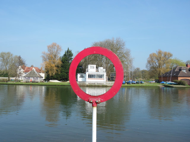
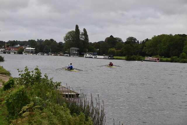
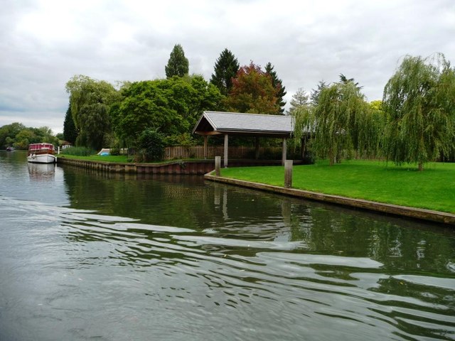
Marina 51.50668, -0.86984 1.77 kms (SSE) Remenham Wokingham South East England United Kingdom
-
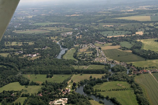
Meadow, Mill, Park, Residential 51.53359, -0.89743 1.86 kms (NW) Henley-on-Thames South Oxfordshire Oxfordshire South East England United Kingdom
-
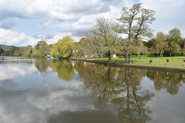
Wood 51.54155, -0.88931 2.33 kms (NNW) Remenham Wokingham South East England United Kingdom
-
Administrative, Civil Parish, Village 51.50211, -0.86657 2.33 kms (SSE) Wokingham South East England United Kingdom
-
Administrative, Civil Parish, Village 51.54378, -0.87023 2.53 kms (NNE) Remenham Wokingham South East England United Kingdom
-
Public 51.53727, -0.8997 2.27 kms (NW) Remenham Wokingham South East England United Kingdom
-
Sports Centre 51.53795, -0.89927 2.31 kms (NW) Remenham Wokingham South East England United Kingdom
-
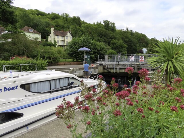
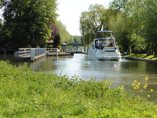
Bridge, Information, Primary, Road Bridge 51.53708, -0.90084 2.3 kms (NW) Henley-on-Thames South Oxfordshire Oxfordshire South East England United Kingdom
-
Park 51.53716, -0.9009 2.31 kms (NW) Henley-on-Thames South Oxfordshire Oxfordshire South East England United Kingdom
-
Bridge, Pub, Public House 51.53743, -0.90094 2.34 kms (NW) Henley-on-Thames South Oxfordshire Oxfordshire South East England United Kingdom
-
Park 51.53783, -0.90082 2.37 kms (NW) Henley-on-Thames South Oxfordshire Oxfordshire South East England United Kingdom
-
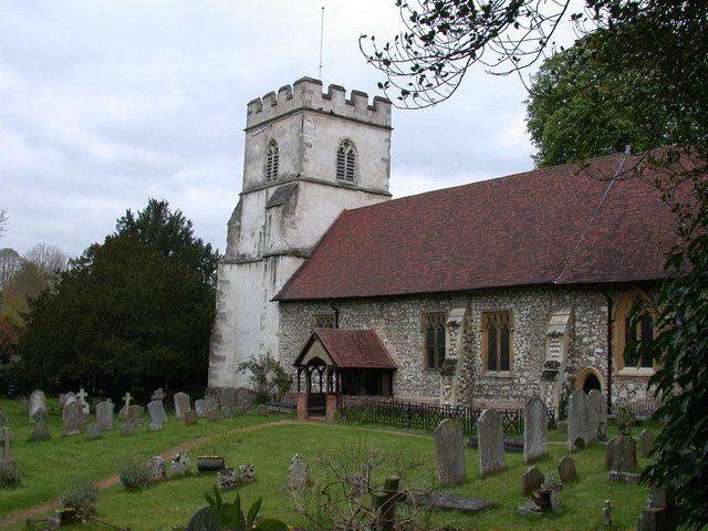
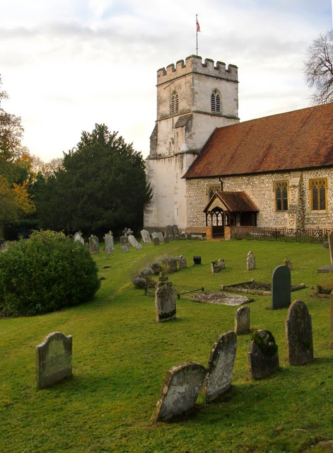
Place of Worship 51.53776, -0.90168 2.4 kms (NW) Henley-on-Thames South Oxfordshire Oxfordshire South East England United Kingdom
-
Place of Worship 51.53776, -0.90168 2.4 kms (NW) Henley-on-Thames South Oxfordshire Oxfordshire South East England United Kingdom
-
Yes 51.54573, -0.89511 2.91 kms (NNW) Remenham Wokingham South East England United Kingdom
-
Rowing Club, Sports Centre 51.54649, -0.89467 2.98 kms (NNW) Remenham Wokingham South East England United Kingdom
-
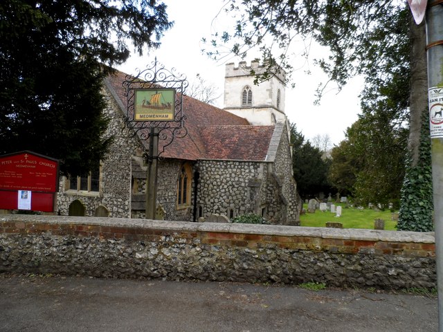
Administrative, Ship, Village 51.4995, -0.89912 2.84 kms (SSW) South Oxfordshire Oxfordshire South East England United Kingdom
-
Civil Parish, Town 51.53758, -0.90503 2.54 kms (NW) South Oxfordshire Oxfordshire South East England United Kingdom
-
Marina 51.55805, -0.8697 4.09 kms (N) Hambleden Buckinghamshire South East England United Kingdom
-
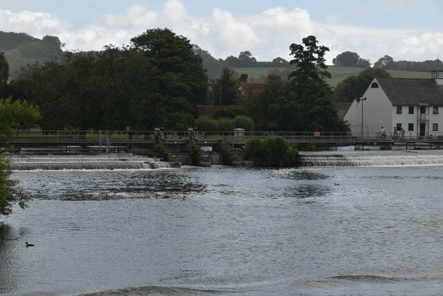
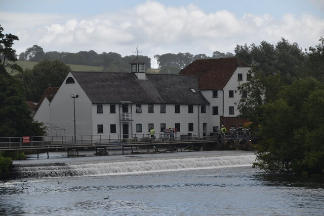
Mill, Point of interest, Watermill 51.5588, -0.86977 4.18 kms (N) Hambleden Buckinghamshire South East England United Kingdom
-
Administrative, Civil Parish, Village 51.55359, -0.84029 4.43 kms (NE) Buckinghamshire South East England United Kingdom
51.52166,-0.87861 17/04/2015 David Purchase CC BY-SA 2.0 0 kms (N)
51.52149,-0.88034 30/04/2013 Row17 CC BY-SA 2.0 0.12 kms (W)
51.52043,-0.88166 15/07/2011 Philip Halling CC BY-SA 2.0 0.25 kms (WSW)
51.51971,-0.88197 02/04/2011 Karen Blakeman CC BY-SA 2.0 0.32 kms (SW)
51.51927,-0.88284 08/02/2011 Derek Harper CC BY-SA 2.0 0.4 kms (SW)
51.51784,-0.88346 15/07/2011 Philip Halling CC BY-SA 2.0 0.54 kms (SW)
51.51766,-0.8836 17/08/2013 Shazz CC BY-SA 2.0 0.56 kms (SW)
51.5215,-0.87212 07/01/2015 Des Blenkinsopp CC BY-SA 2.0 0.45 kms (E)
51.51711,-0.88333 08/02/2011 Derek Harper CC BY-SA 2.0 0.6 kms (SSW)
51.51694,-0.88333 15/07/2011 Philip Halling CC BY-SA 2.0 0.62 kms (SSW)
51.51755,-0.8728 18/06/2017 Chris CC BY-SA 2.0 0.61 kms (SE)
51.51817,-0.87177 11/08/2019 Robin Webster CC BY-SA 2.0 0.61 kms (SE)
51.51477,-0.88209 19/01/2012 Andrew Smith CC BY-SA 2.0 0.8 kms (SSW)
51.51785,-0.88533 19/07/2013 Des Blenkinsopp CC BY-SA 2.0 0.63 kms (SW)
51.51541,-0.88323 17/08/2013 Shazz CC BY-SA 2.0 0.76 kms (SSW)
51.52157,-0.86996 08/04/2008 Andrew Smith CC BY-SA 2.0 0.6 kms (E)
51.51977,-0.87 08/04/2008 Andrew Smith CC BY-SA 2.0 0.63 kms (ESE)
51.5157,-0.88553 19/07/2013 Des Blenkinsopp CC BY-SA 2.0 0.82 kms (SW)
51.5281,-0.88508 08/08/2019 Steve Daniels CC BY-SA 2.0 0.85 kms (NNW)
51.52766,-0.88552 08/08/2019 Steve Daniels CC BY-SA 2.0 0.82 kms (NW)
51.51203,-0.87783 07/01/2015 Des Blenkinsopp CC BY-SA 2.0 1.07 kms (S)
51.52856,-0.8855 08/08/2019 Steve Daniels CC BY-SA 2.0 0.9 kms (NNW)
51.52865,-0.8855 08/08/2019 Steve Daniels CC BY-SA 2.0 0.91 kms (NNW)
51.52847,-0.88608 08/08/2019 Steve Daniels CC BY-SA 2.0 0.92 kms (NW)
51.52847,-0.88608 08/08/2019 Steve Daniels CC BY-SA 2.0 0.92 kms (NW)
51.52865,-0.88593 08/08/2019 Steve Daniels CC BY-SA 2.0 0.93 kms (NW)
51.52883,-0.88578 08/08/2019 Steve Daniels CC BY-SA 2.0 0.94 kms (NNW)
51.51262,-0.88358 17/04/2015 David Purchase CC BY-SA 2.0 1.06 kms (SSW)

51.51171,-0.88274 01/01/1970 Antony Ewart Smith CC BY-SA 2.0 1.14 kms (SSW)
51.52901,-0.8865 08/08/2019 Steve Daniels CC BY-SA 2.0 0.98 kms (NW)
51.51904,-0.868 24/03/2012 Stuart Logan CC BY-SA 2.0 0.79 kms (ESE)
51.51142,-0.88257 01/01/1970 Antony Ewart Smith CC BY-SA 2.0 1.17 kms (SSW)
51.51144,-0.88275 14/05/2018 Dave Kelly CC BY-SA 2.0 1.17 kms (SSW)
51.51126,-0.88246 17/08/2013 Shazz CC BY-SA 2.0 1.19 kms (SSW)
51.51117,-0.88247 18/09/2014 Nigel Thompson CC BY-SA 2.0 1.2 kms (SSW)
51.52911,-0.88693 08/08/2019 Steve Daniels CC BY-SA 2.0 1.01 kms (NW)
51.52929,-0.88707 08/08/2019 Steve Daniels CC BY-SA 2.0 1.03 kms (NW)
51.52965,-0.88677 08/08/2019 Steve Daniels CC BY-SA 2.0 1.05 kms (NNW)
51.52154,-0.86708 19/11/2005 Andrew Smith CC BY-SA 2.0 0.8 kms (E)
51.51975,-0.86712 16/08/2007 Andrew Smith CC BY-SA 2.0 0.82 kms (ESE)
51.51446,-0.86941 24/09/2015 Steve Daniels CC BY-SA 2.0 1.02 kms (SE)
51.51003,-0.8763 27/03/2017 Des Blenkinsopp CC BY-SA 2.0 1.3 kms (S)
51.51741,-0.86732 24/03/2012 Stuart Logan CC BY-SA 2.0 0.91 kms (ESE)
51.51499,-0.86782 24/03/2012 Stuart Logan CC BY-SA 2.0 1.05 kms (SE)
51.51027,-0.87226 08/01/2015 Des Blenkinsopp CC BY-SA 2.0 1.34 kms (SSE)
51.51322,-0.88948 10/11/2016 Robert Eva CC BY-SA 2.0 1.2 kms (SW)
51.51918,-0.86469 17/08/2013 Shazz CC BY-SA 2.0 1 kms (ESE)
51.51891,-0.86426 24/03/2012 Stuart Logan CC BY-SA 2.0 1.04 kms (ESE)
51.51104,-0.86849 24/09/2015 Steve Daniels CC BY-SA 2.0 1.37 kms (SSE)
51.50768,-0.8837 08/01/2018 David Howard CC BY-SA 2.0 1.59 kms (SSW)
51.51405,-0.89162 10/11/2016 Robert Eva CC BY-SA 2.0 1.24 kms (SW)
51.5076,-0.885 17/08/2013 Shazz CC BY-SA 2.0 1.62 kms (SSW)
51.51522,-0.86435 18/11/2005 Andrew Smith CC BY-SA 2.0 1.22 kms (SE)
51.50809,-0.87015 08/01/2015 Des Blenkinsopp CC BY-SA 2.0 1.62 kms (SSE)
51.53158,-0.89119 08/08/2019 Steve Daniels CC BY-SA 2.0 1.41 kms (NW)
51.51468,-0.86393 17/08/2013 Shazz CC BY-SA 2.0 1.28 kms (SE)
51.51035,-0.89056 18/08/2013 N Chadwick CC BY-SA 2.0 1.5 kms (SSW)
51.51026,-0.89056 08/01/2018 David Howard CC BY-SA 2.0 1.51 kms (SSW)
51.50533,-0.88304 17/08/2013 Shazz CC BY-SA 2.0 1.84 kms (S)
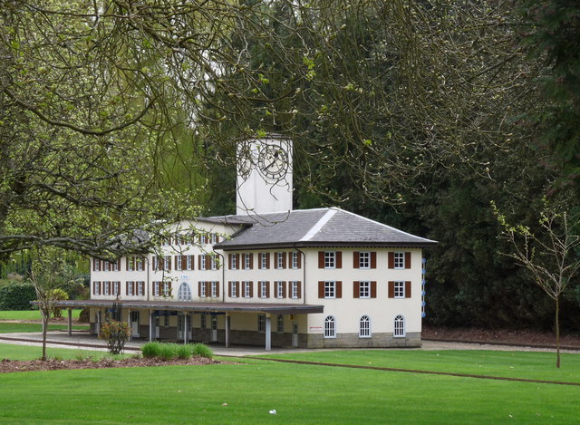
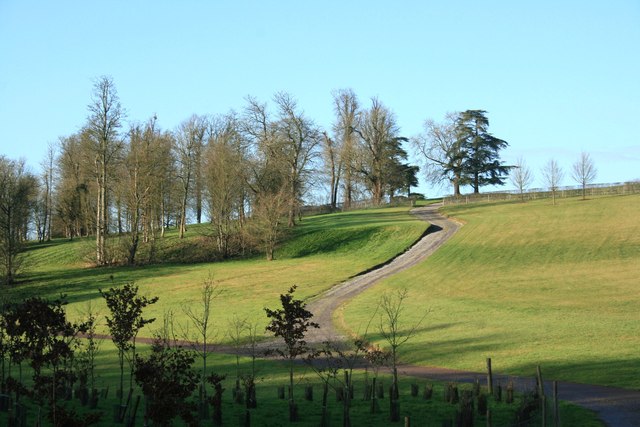
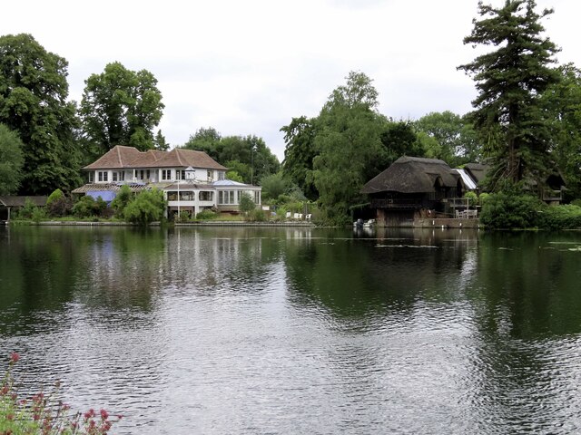
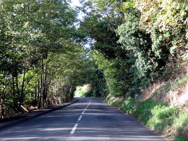
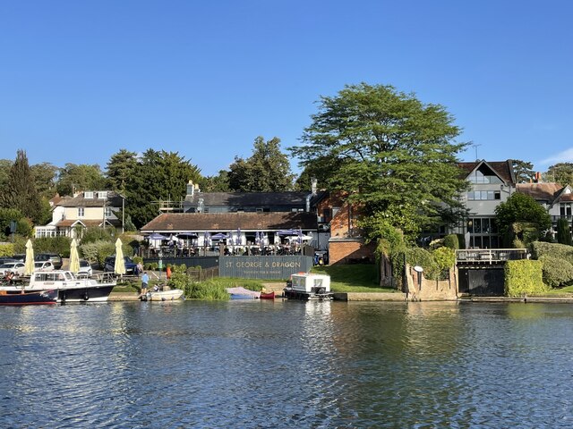
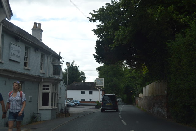
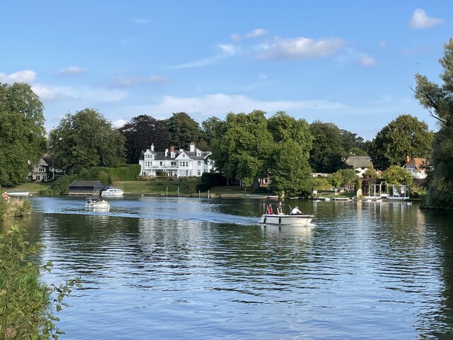
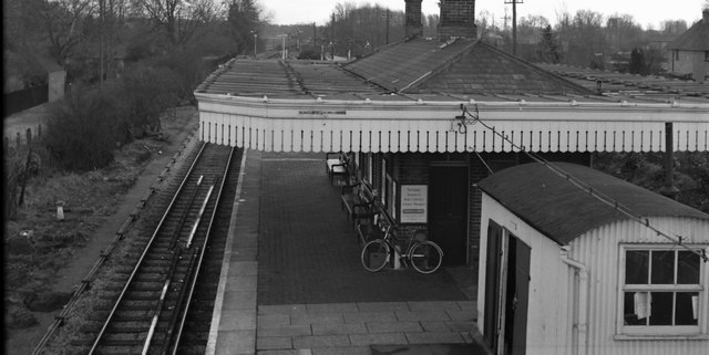
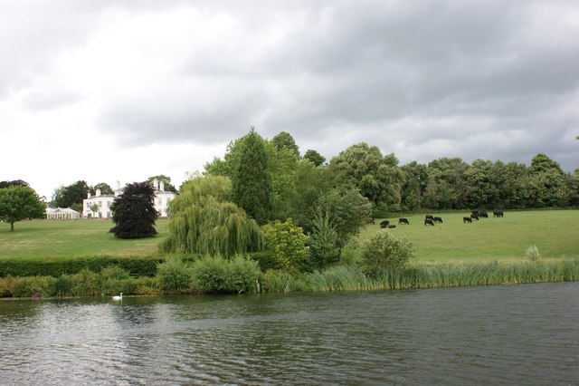
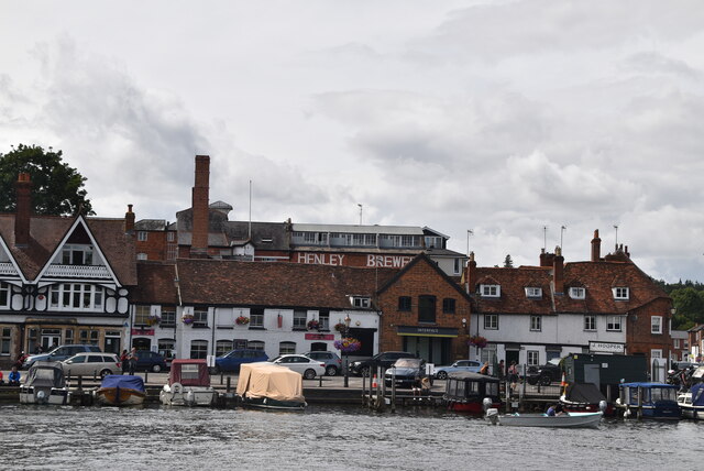
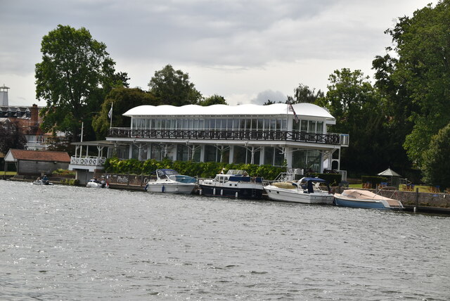
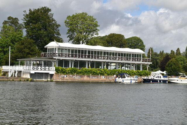
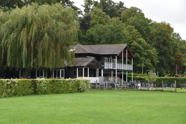
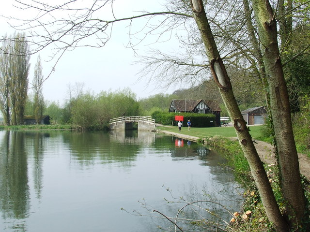
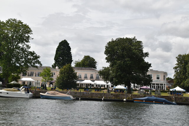
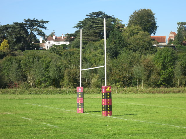
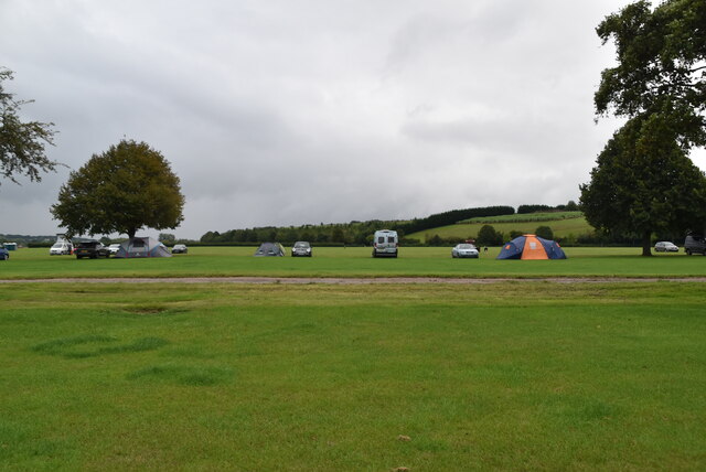
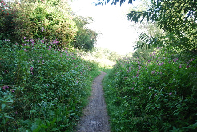
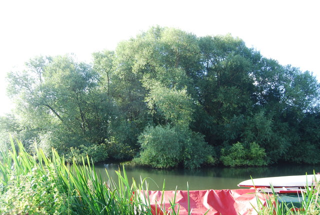
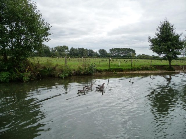
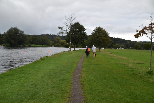
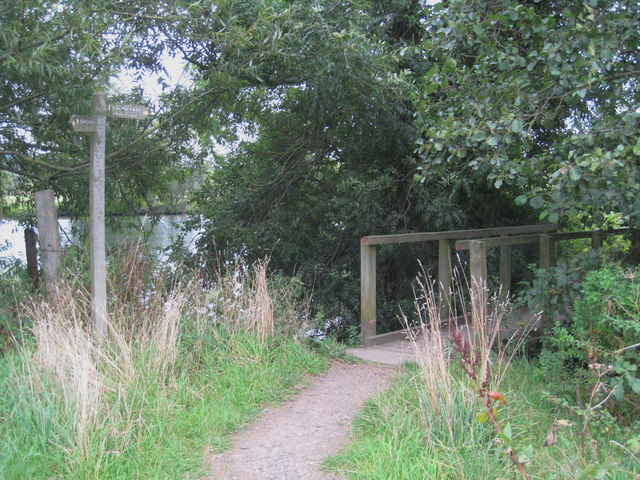
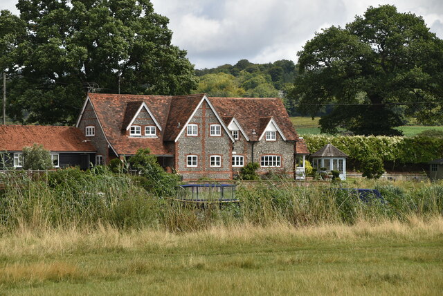
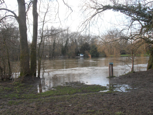
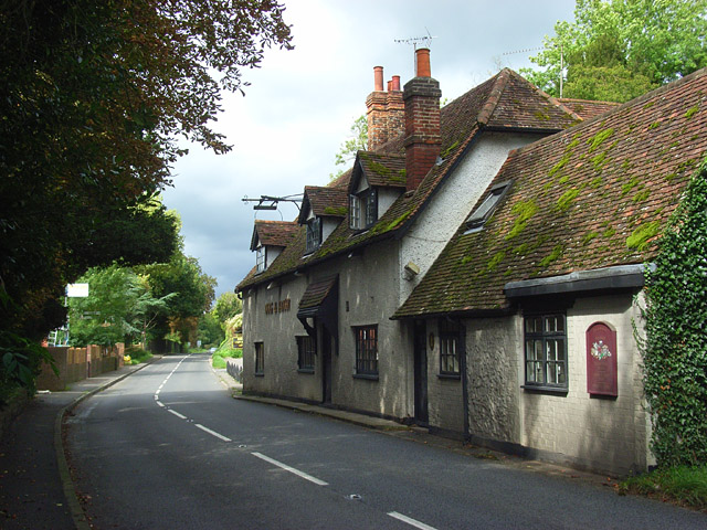
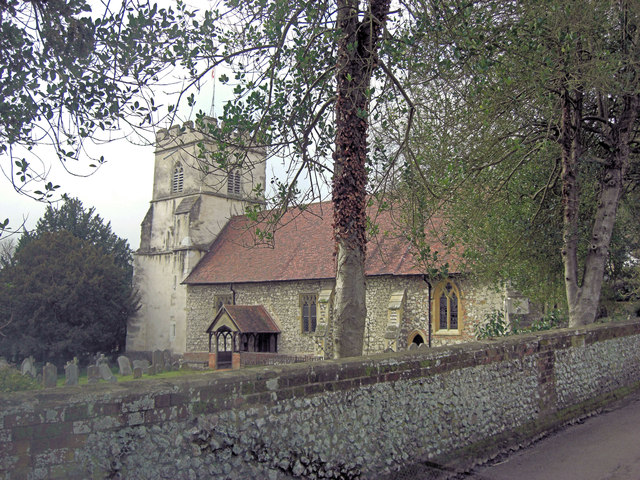
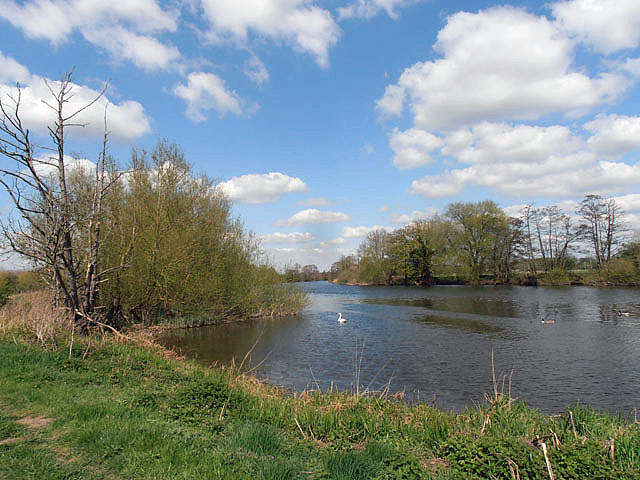
51.50674,-0.86989 08/01/2015 Des Blenkinsopp CC BY-SA 2.0 1.77 kms (SSE)
51.50497,-0.88319 24/04/2010 Tim Glover CC BY-SA 2.0 1.88 kms (S)
51.50558,-0.8718 27/03/2017 Des Blenkinsopp CC BY-SA 2.0 1.85 kms (SSE)
51.50726,-0.86873 28/06/2015 N Chadwick CC BY-SA 2.0 1.74 kms (SSE)

51.50398,-0.88264 17/04/2015 David Purchase CC BY-SA 2.0 1.99 kms (S)
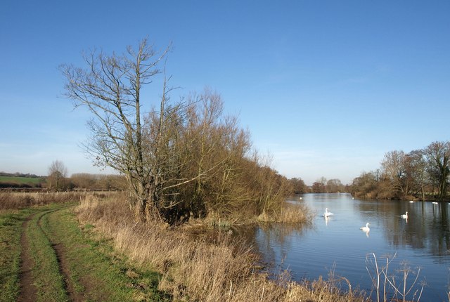
51.50601,-0.86919 11/08/2019 Robin Webster CC BY-SA 2.0 1.86 kms (SSE)
51.50459,-0.87081 14/06/2015 Chris CC BY-SA 2.0 1.97 kms (SSE)
51.50635,-0.86702 14/06/2015 Chris CC BY-SA 2.0 1.88 kms (SSE)
51.50196,-0.87808 26/09/2021 Simon Mortimer CC BY-SA 2.0 2.19 kms (S)
51.50293,-0.88526 08/01/2018 David Howard CC BY-SA 2.0 2.13 kms (SSW)
51.50228,-0.88398 08/01/2018 David Howard CC BY-SA 2.0 2.19 kms (S)
51.50183,-0.88298 15/07/2011 Philip Halling CC BY-SA 2.0 2.23 kms (S)
51.50288,-0.87085 04/07/2020 Simon Mortimer CC BY-SA 2.0 2.16 kms (SSE)
51.50332,-0.86983 26/09/2021 Simon Mortimer CC BY-SA 2.0 2.13 kms (SSE)
51.50571,-0.86589 18/06/2017 Chris CC BY-SA 2.0 1.98 kms (SSE)
51.50571,-0.86589 18/06/2017 Chris CC BY-SA 2.0 1.98 kms (SSE)
51.50164,-0.88284 15/07/2011 Philip Halling CC BY-SA 2.0 2.24 kms (S)
51.50331,-0.8694 24/06/2017 N Chadwick CC BY-SA 2.0 2.14 kms (SSE)
51.50239,-0.88585 08/01/2018 David Howard CC BY-SA 2.0 2.2 kms (SSW)
51.50146,-0.88285 26/09/2021 Simon Mortimer CC BY-SA 2.0 2.26 kms (S)
51.50165,-0.88385 15/07/2011 Philip Halling CC BY-SA 2.0 2.25 kms (S)
51.50234,-0.87116 26/09/2021 Simon Mortimer CC BY-SA 2.0 2.21 kms (SSE)
51.50148,-0.88458 14/05/2018 Dave Kelly CC BY-SA 2.0 2.28 kms (S)
51.50117,-0.87104 04/07/2020 Simon Mortimer CC BY-SA 2.0 2.34 kms (SSE)
51.50113,-0.86992 01/11/2020 Wayland Smith CC BY-SA 2.0 2.36 kms (SSE)
51.50116,-0.86974 24/06/2017 N Chadwick CC BY-SA 2.0 2.36 kms (SSE)
51.50063,-0.87091 04/07/2020 Simon Mortimer CC BY-SA 2.0 2.4 kms (SSE)
51.50032,-0.88561 05/10/2013 Christine Johnstone CC BY-SA 2.0 2.42 kms (S)
51.49967,-0.87381 09/05/2019 Dave Kelly CC BY-SA 2.0 2.47 kms (S)
51.49967,-0.87367 01/11/2020 Wayland Smith CC BY-SA 2.0 2.47 kms (S)

51.50023,-0.88561 05/10/2013 Christine Johnstone CC BY-SA 2.0 2.43 kms (S)
51.50068,-0.86996 01/11/2020 Wayland Smith CC BY-SA 2.0 2.41 kms (SSE)
51.49894,-0.88204 01/11/2020 Wayland Smith CC BY-SA 2.0 2.54 kms (S)
51.49844,-0.87673 01/01/1970 Antony Ewart Smith CC BY-SA 2.0 2.58 kms (S)
51.54394,-0.88657 04/05/2015 Simon Mortimer CC BY-SA 2.0 2.54 kms (NNW)
51.49928,-0.87051 11/08/2019 Robin Webster CC BY-SA 2.0 2.55 kms (SSE)
51.50355,-0.89447 08/01/2018 David Howard CC BY-SA 2.0 2.29 kms (SSW)
51.49902,-0.89025 21/07/2017 Simon Mortimer CC BY-SA 2.0 2.64 kms (SSW)
51.54722,-0.88187 15/07/2018 N Chadwick CC BY-SA 2.0 2.85 kms (N)
51.54778,-0.87407 27/06/2015 N Chadwick CC BY-SA 2.0 2.92 kms (N)
51.54728,-0.88735 27/02/2017 Des Blenkinsopp CC BY-SA 2.0 2.91 kms (NNW)
51.54851,-0.87492 27/06/2015 N Chadwick CC BY-SA 2.0 3 kms (N)
51.54745,-0.88706 04/05/2015 Simon Mortimer CC BY-SA 2.0 2.93 kms (NNW)

51.54798,-0.88531 27/06/2015 N Chadwick CC BY-SA 2.0 2.96 kms (N)
51.54756,-0.87033 23/08/2013 Shazz CC BY-SA 2.0 2.94 kms (N)
51.54875,-0.88155 27/06/2015 N Chadwick CC BY-SA 2.0 3.02 kms (N)

51.54925,-0.87706 15/07/2018 N Chadwick CC BY-SA 2.0 3.07 kms (N)
51.54894,-0.87289 15/07/2018 N Chadwick CC BY-SA 2.0 3.06 kms (N)
51.54941,-0.87576 15/07/2018 N Chadwick CC BY-SA 2.0 3.09 kms (N)
51.54939,-0.88268 15/07/2018 N Chadwick CC BY-SA 2.0 3.1 kms (N)
51.5377,-0.90171 26/07/2020 N Chadwick CC BY-SA 2.0 2.4 kms (NW)
51.53743,-0.90201 26/07/2020 N Chadwick CC BY-SA 2.0 2.39 kms (NW)
51.54882,-0.87044 23/08/2013 Shazz CC BY-SA 2.0 3.07 kms (N)
51.50316,-0.90067 29/10/2013 Des Blenkinsopp CC BY-SA 2.0 2.56 kms (SW)
51.49835,-0.8956 31/10/2015 Mark Percy CC BY-SA 2.0 2.85 kms (SSW)
51.5386,-0.90198 26/07/2020 N Chadwick CC BY-SA 2.0 2.48 kms (NW)
51.5361,-0.90363 11/10/2021 David Hillas CC BY-SA 2.0 2.36 kms (NW)
51.49671,-0.89362 05/10/2013 Christine Johnstone CC BY-SA 2.0 2.96 kms (SSW)
51.54669,-0.86371 18/06/2017 Chris CC BY-SA 2.0 2.97 kms (NNE)
51.54075,-0.90063 26/07/2020 N Chadwick CC BY-SA 2.0 2.61 kms (NW)
51.4979,-0.89561 03/10/2016 Des Blenkinsopp CC BY-SA 2.0 2.89 kms (SSW)
51.53905,-0.90211 26/07/2020 N Chadwick CC BY-SA 2.0 2.53 kms (NW)
51.54618,-0.89473 29/08/2020 N Chadwick CC BY-SA 2.0 2.95 kms (NNW)
51.49653,-0.89392 17/04/2015 David Purchase CC BY-SA 2.0 2.99 kms (SSW)
51.4979,-0.89604 26/09/2021 Simon Mortimer CC BY-SA 2.0 2.9 kms (SSW)
51.54449,-0.85987 10/06/2016 Chris CC BY-SA 2.0 2.85 kms (NNE)
51.54787,-0.86484 17/04/2015 David Purchase CC BY-SA 2.0 3.07 kms (NNE)
51.54449,-0.89751 26/07/2020 N Chadwick CC BY-SA 2.0 2.86 kms (NNW)
51.49763,-0.89605 18/08/2013 N Chadwick CC BY-SA 2.0 2.93 kms (SSW)
51.54796,-0.86455 19/03/2013 Row17 CC BY-SA 2.0 3.08 kms (NNE)
51.54583,-0.89633 29/08/2020 N Chadwick CC BY-SA 2.0 2.95 kms (NNW)
51.54103,-0.90163 26/07/2020 N Chadwick CC BY-SA 2.0 2.68 kms (NW)
51.54813,-0.86425 17/04/2015 David Purchase CC BY-SA 2.0 3.11 kms (NNE)
51.54406,-0.89897 28/08/2021 Mark Percy CC BY-SA 2.0 2.86 kms (NNW)
51.55117,-0.8711 26/07/2020 N Chadwick CC BY-SA 2.0 3.32 kms (N)
51.54557,-0.8597 17/04/2015 David Purchase CC BY-SA 2.0 2.96 kms (NNE)
51.54877,-0.89294 26/07/2020 N Chadwick CC BY-SA 2.0 3.17 kms (NNW)
51.49491,-0.89381 03/10/2016 Des Blenkinsopp CC BY-SA 2.0 3.15 kms (SSW)
51.55134,-0.87052 26/07/2020 N Chadwick CC BY-SA 2.0 3.35 kms (N)
51.5483,-0.86295 23/08/2013 Shazz CC BY-SA 2.0 3.15 kms (NNE)
51.49464,-0.89382 18/08/2013 N Chadwick CC BY-SA 2.0 3.18 kms (SSW)
51.49456,-0.89396 05/10/2013 Christine Johnstone CC BY-SA 2.0 3.2 kms (SSW)
51.49529,-0.89582 03/10/2016 Des Blenkinsopp CC BY-SA 2.0 3.16 kms (SSW)
51.55108,-0.89 29/08/2020 N Chadwick CC BY-SA 2.0 3.36 kms (NNW)
51.49848,-0.90006 29/10/2013 Des Blenkinsopp CC BY-SA 2.0 2.97 kms (SSW)
51.49511,-0.89582 18/08/2013 N Chadwick CC BY-SA 2.0 3.18 kms (SSW)
51.5529,-0.87351 26/07/2020 N Chadwick CC BY-SA 2.0 3.49 kms (N)
51.55099,-0.89072 28/08/2020 N Chadwick CC BY-SA 2.0 3.37 kms (NNW)
51.55112,-0.86591 25/12/2020 Simon Mortimer CC BY-SA 2.0 3.39 kms (NNE)
51.54709,-0.85894 27/05/2010 Des Blenkinsopp CC BY-SA 2.0 3.14 kms (NNE)
51.49931,-0.90177 08/01/2018 David Howard CC BY-SA 2.0 2.96 kms (SSW)
51.49949,-0.9022 08/01/2018 David Howard CC BY-SA 2.0 2.96 kms (SSW)
51.55242,-0.88982 28/08/2020 N Chadwick CC BY-SA 2.0 3.51 kms (NNW)
51.49331,-0.89515 14/05/2018 Dave Kelly CC BY-SA 2.0 3.35 kms (SSW)
51.49239,-0.89358 18/08/2013 N Chadwick CC BY-SA 2.0 3.41 kms (SSW)
51.55294,-0.86846 26/07/2020 N Chadwick CC BY-SA 2.0 3.55 kms (N)
51.54835,-0.85848 23/08/2013 Shazz CC BY-SA 2.0 3.28 kms (NNE)
51.49787,-0.90224 29/10/2013 Des Blenkinsopp CC BY-SA 2.0 3.11 kms (SSW)
51.55367,-0.88864 28/08/2020 N Chadwick CC BY-SA 2.0 3.63 kms (NNW)
51.4916,-0.89476 18/08/2013 N Chadwick CC BY-SA 2.0 3.52 kms (SSW)
51.49114,-0.8939 05/10/2013 Christine Johnstone CC BY-SA 2.0 3.55 kms (SSW)
51.49096,-0.89405 05/10/2013 Christine Johnstone CC BY-SA 2.0 3.58 kms (SSW)
51.5476,-0.85576 10/06/2016 Chris CC BY-SA 2.0 3.29 kms (NNE)
51.54624,-0.85421 15/07/2011 Philip Halling CC BY-SA 2.0 3.21 kms (NNE)
51.54587,-0.85349 26/08/2008 Rod Allday CC BY-SA 2.0 3.2 kms (NNE)

51.54387,-0.85153 21/04/2020 Andrew Smith CC BY-SA 2.0 3.1 kms (NE)
51.55417,-0.8654 26/07/2020 N Chadwick CC BY-SA 2.0 3.73 kms (NNE)
51.5559,-0.88685 28/08/2020 N Chadwick CC BY-SA 2.0 3.85 kms (N)
51.54568,-0.85263 27/05/2010 Des Blenkinsopp CC BY-SA 2.0 3.22 kms (NNE)
51.54523,-0.85221 17/04/2015 David Purchase CC BY-SA 2.0 3.19 kms (NE)
51.54604,-0.85262 13/09/2008 Shaun Ferguson CC BY-SA 2.0 3.25 kms (NNE)
51.5464,-0.85218 10/06/2016 Chris CC BY-SA 2.0 3.3 kms (NNE)
51.5562,-0.88958 29/08/2020 N Chadwick CC BY-SA 2.0 3.92 kms (NNW)
51.54621,-0.85176 19/03/2013 Row17 CC BY-SA 2.0 3.3 kms (NE)
51.5463,-0.85161 23/08/2013 Shazz CC BY-SA 2.0 3.32 kms (NE)
51.55708,-0.88798 28/08/2020 N Chadwick CC BY-SA 2.0 3.99 kms (N)
51.55709,-0.88855 28/08/2020 N Chadwick CC BY-SA 2.0 4 kms (N)
51.49,-0.89739 17/04/2015 David Purchase CC BY-SA 2.0 3.75 kms (SSW)
51.49064,-0.89867 03/10/2016 Des Blenkinsopp CC BY-SA 2.0 3.72 kms (SSW)
51.55872,-0.87091 26/07/2020 N Chadwick CC BY-SA 2.0 4.16 kms (N)
51.55916,-0.87062 01/05/2021 David Martin CC BY-SA 2.0 4.21 kms (N)
51.54483,-0.84804 26/08/2008 Rod Allday CC BY-SA 2.0 3.33 kms (NE)
51.48802,-0.89715 05/10/2013 Christine Johnstone CC BY-SA 2.0 3.95 kms (SSW)
51.55982,-0.87305 26/07/2020 N Chadwick CC BY-SA 2.0 4.26 kms (N)
51.55991,-0.87348 26/07/2020 N Chadwick CC BY-SA 2.0 4.27 kms (N)
51.55981,-0.87262 01/05/2021 David Martin CC BY-SA 2.0 4.26 kms (N)
51.55971,-0.87132 01/05/2021 David Martin CC BY-SA 2.0 4.26 kms (N)
51.55971,-0.87118 26/07/2020 N Chadwick CC BY-SA 2.0 4.26 kms (N)
51.54065,-0.84368 26/06/2020 James Emmans CC BY-SA 2.0 3.21 kms (NE)
51.56163,-0.87459 26/07/2020 N Chadwick CC BY-SA 2.0 4.45 kms (N)
51.54352,-0.84259 23/08/2013 Shazz CC BY-SA 2.0 3.48 kms (NE)

51.54424,-0.84272 23/08/2013 Shazz CC BY-SA 2.0 3.53 kms (NE)
51.55244,-0.84496 23/03/2019 Andrew Smith CC BY-SA 2.0 4.14 kms (NE)
51.54601,-0.83993 09/08/2003 Ben Brooksbank CC BY-SA 2.0 3.81 kms (NE)
51.54654,-0.83963 02/02/2014 Robin Webster CC BY-SA 2.0 3.86 kms (NE)
51.54654,-0.83963 11/04/2013 Stuart Logan CC BY-SA 2.0 3.86 kms (NE)
51.54645,-0.83949 09/08/2003 Ben Brooksbank CC BY-SA 2.0 3.86 kms (NE)
51.54663,-0.83949 27/04/1958 Ben Brooksbank CC BY-SA 2.0 3.88 kms (NE)
51.54672,-0.83948 19/03/2013 Row17 CC BY-SA 2.0 3.88 kms (NE)
51.55312,-0.84134 01/01/1970 Simon Mortimer CC BY-SA 2.0 4.35 kms (NE)
51.55321,-0.84134 01/01/1970 Simon Mortimer CC BY-SA 2.0 4.35 kms (NE)
51.5533,-0.8409 13/11/2013 Stefan Czapski CC BY-SA 2.0 4.38 kms (NE)
51.55276,-0.84034 06/09/2008 Andrew Smith CC BY-SA 2.0 4.35 kms (NE)
51.5533,-0.84076 05/09/2020 Basher Eyre CC BY-SA 2.0 4.39 kms (NE)
51.55339,-0.84076 05/09/2020 Basher Eyre CC BY-SA 2.0 4.39 kms (NE)
51.55339,-0.84076 02/02/2014 Robin Webster CC BY-SA 2.0 4.39 kms (NE)
51.55339,-0.84076 11/04/2013 Stuart Logan CC BY-SA 2.0 4.39 kms (NE)
51.55339,-0.84076 29/03/2013 Bikeboy CC BY-SA 2.0 4.39 kms (NE)
51.55357,-0.84046 11/04/2013 Stuart Logan CC BY-SA 2.0 4.42 kms (NE)
51.55519,-0.84129 22/05/2010 Des Blenkinsopp CC BY-SA 2.0 4.53 kms (NE)
51.55374,-0.83988 29/03/2013 Bikeboy CC BY-SA 2.0 4.46 kms (NE)
51.48202,-0.90968 01/11/2020 Wayland Smith CC BY-SA 2.0 4.9 kms (SSW)
51.48203,-0.91025 05/10/2013 Christine Johnstone CC BY-SA 2.0 4.92 kms (SSW)
51.48212,-0.91039 15/07/2011 Philip Halling CC BY-SA 2.0 4.92 kms (SSW)
51.48221,-0.91054 30/04/2013 Row17 CC BY-SA 2.0 4.91 kms (SSW)
51.48195,-0.91083 08/02/2011 Derek Harper CC BY-SA 2.0 4.95 kms (SSW)
51.48377,-0.91338 17/04/2015 David Purchase CC BY-SA 2.0 4.85 kms (SSW)
51.55662,-0.83981 25/02/2021 James Emmans CC BY-SA 2.0 4.72 kms (NE)