-
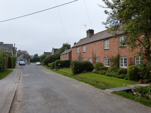
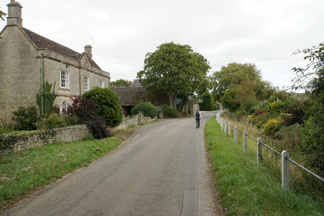
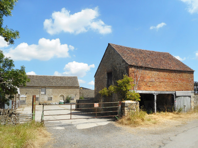
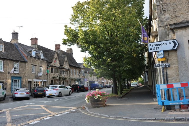
Administrative, Civil Parish, Village 51.67616, -1.66705 0.5 kms (W) Vale of White Horse Oxfordshire South East England United Kingdom
-
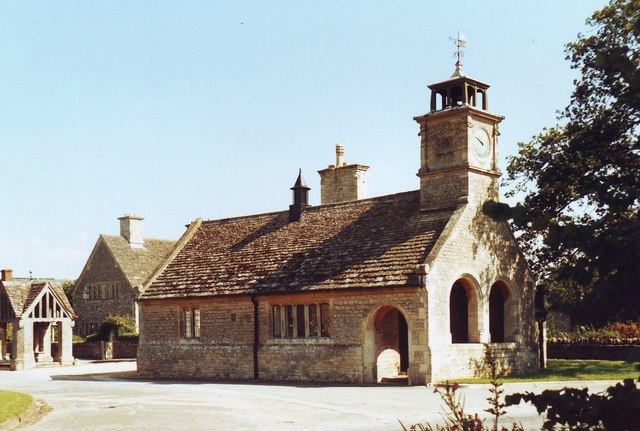
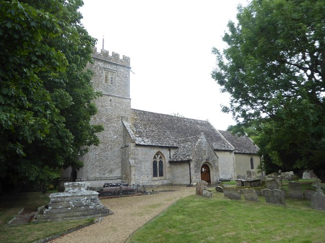
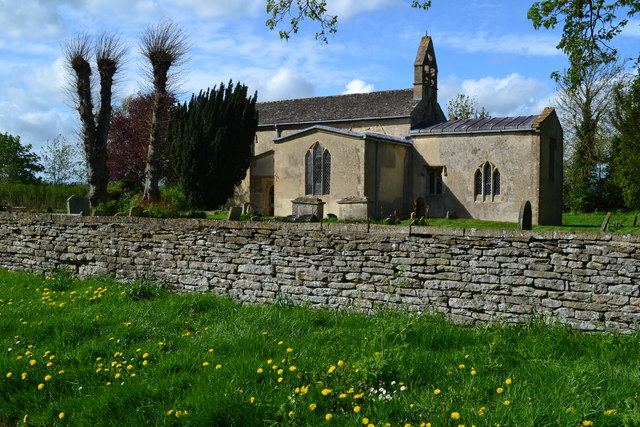
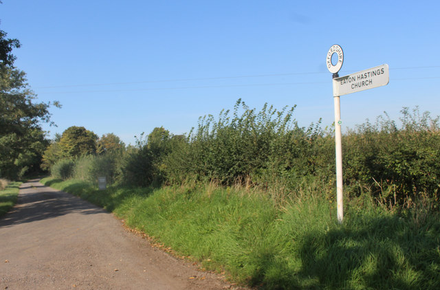
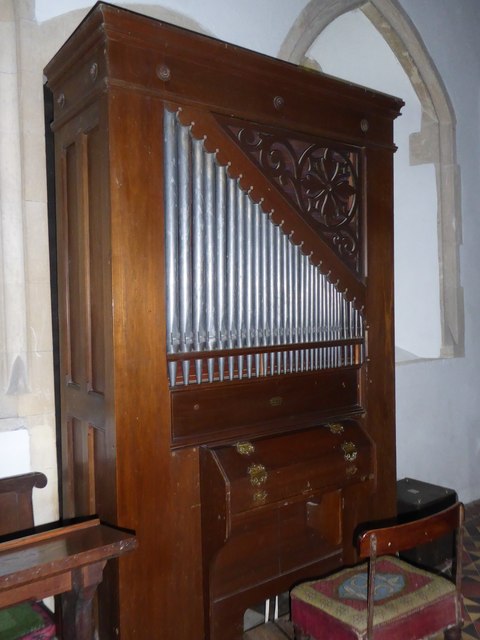
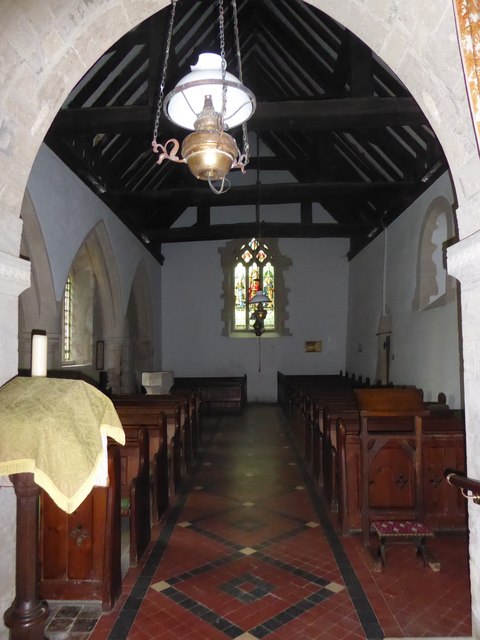
Place of Worship 51.68159, -1.67365 1.14 kms (WNW) Vale of White Horse Oxfordshire South East England United Kingdom
-
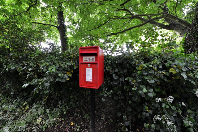
Yes 51.68502, -1.64459 1.45 kms (NE) Grafton and Radcot West Oxfordshire Oxfordshire South East England United Kingdom
-
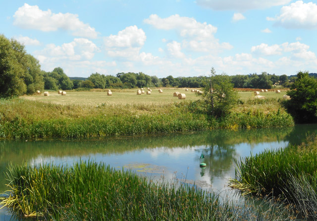
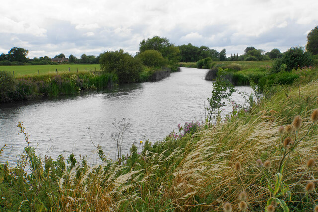
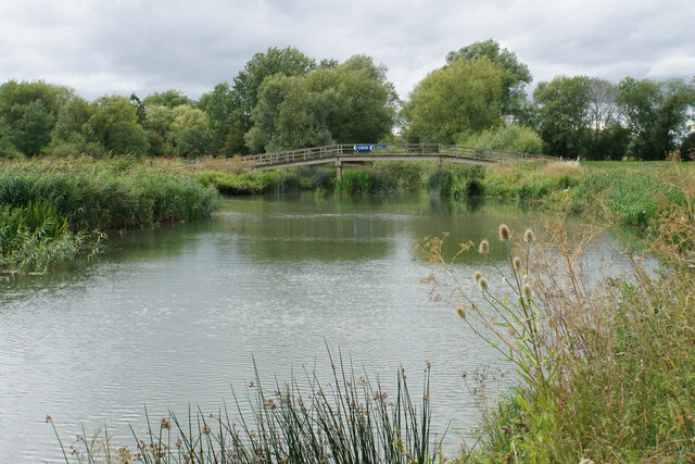
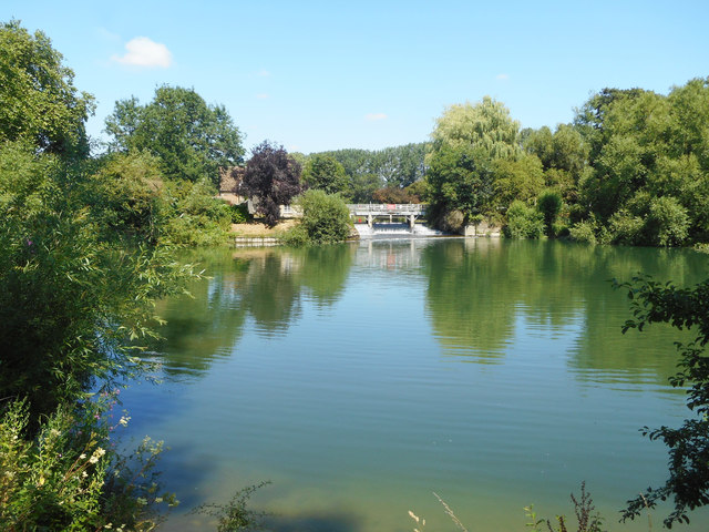
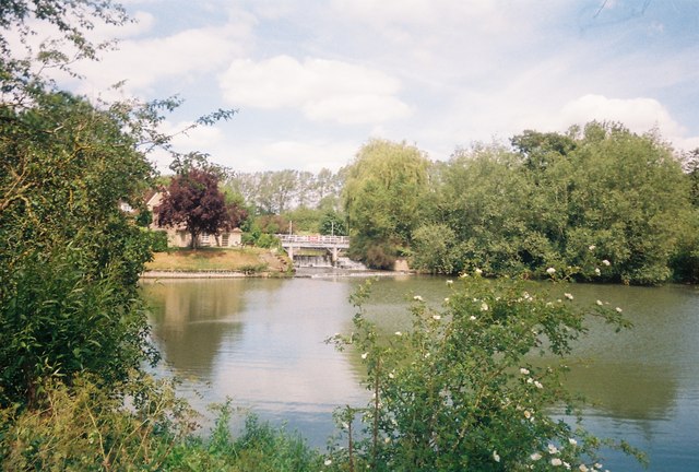
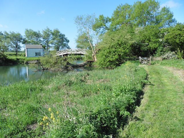
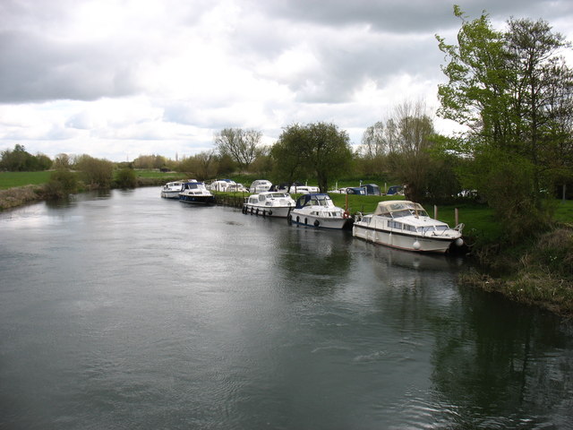
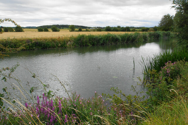
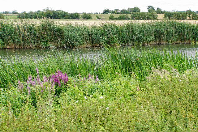
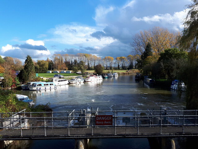
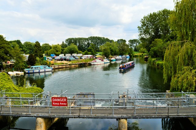
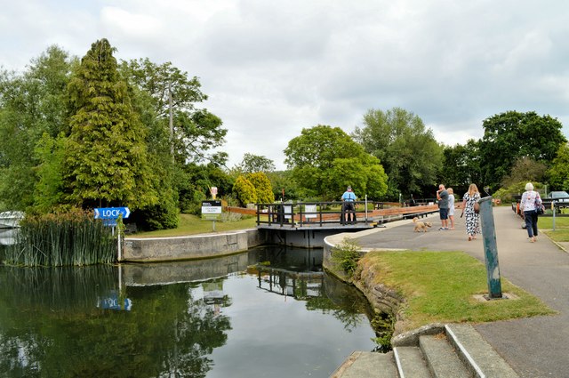
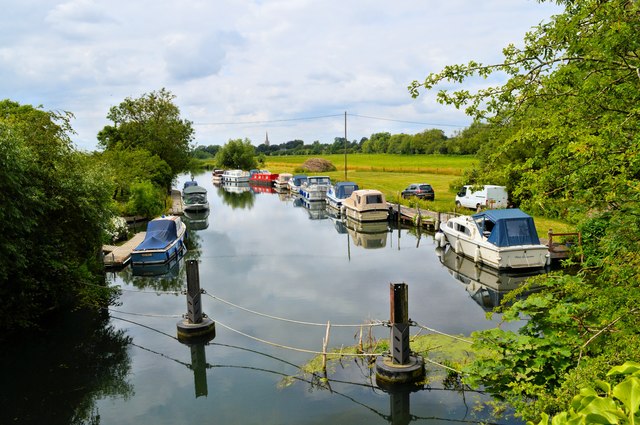
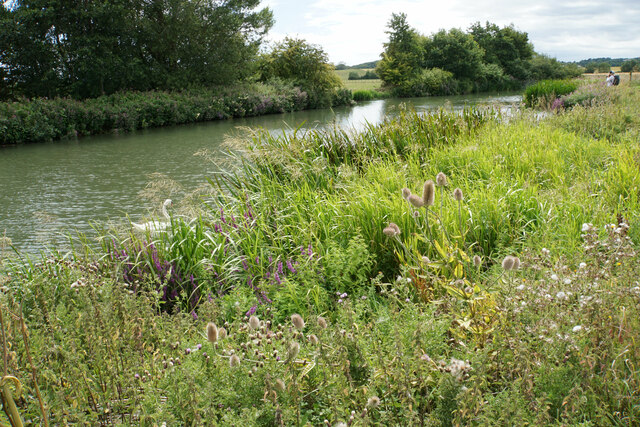
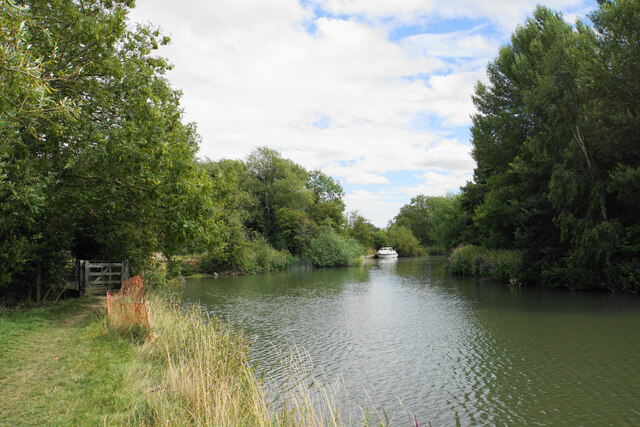
Bathing-place, Wharf 51.68396, -1.67661 1.46 kms (NW) Vale of White Horse Oxfordshire South East England United Kingdom
-
Pub 51.69031, -1.67835 2.04 kms (NW) Lechlade Cotswold Gloucestershire South West England United Kingdom
-
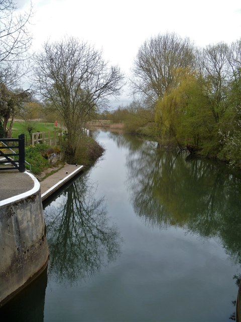
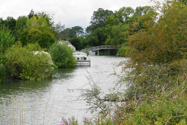
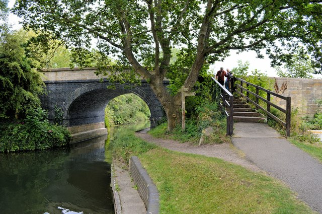
Bridge, Road Bridge, Yes 51.68975, -1.6788 2.01 kms (NW) Lechlade Cotswold Gloucestershire South West England United Kingdom
-
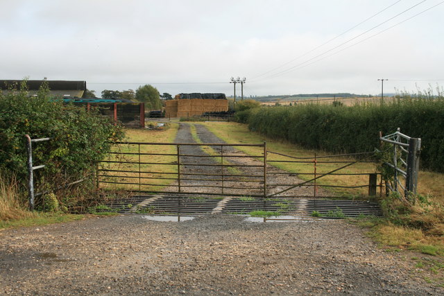
Administrative, Civil Parish, Village 51.68973, -1.63981 2.05 kms (NE) West Oxfordshire Oxfordshire South East England United Kingdom
-
Place of Worship 51.6939, -1.69045 2.9 kms (NW) Lechlade Cotswold Gloucestershire South West England United Kingdom
-
Administrative, Civil Parish, Village 51.68434, -1.62269 2.72 kms (ENE) Vale of White Horse Oxfordshire South East England United Kingdom
-
Marina 51.6927, -1.6959 3.1 kms (NW) Lechlade Cotswold Gloucestershire South West England United Kingdom
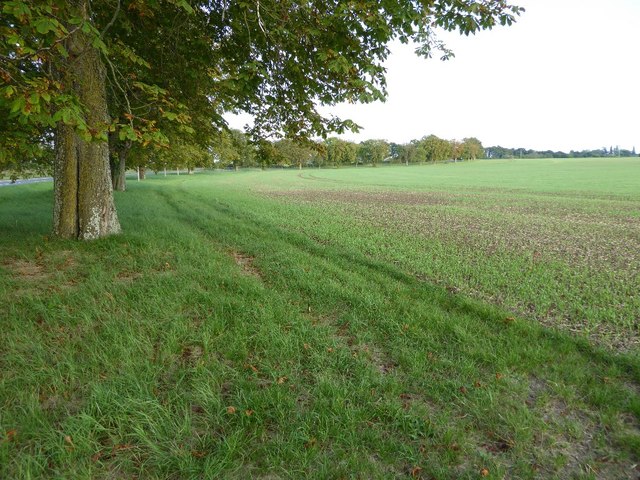
51.67605,-1.65981 07/09/2016 Philip Halling CC BY-SA 2.0 0 kms (N)
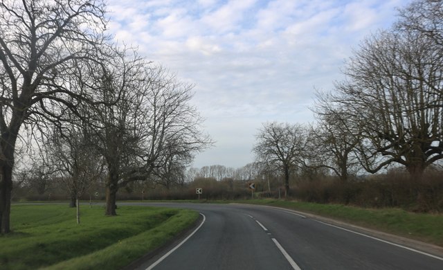
51.67631,-1.65894 23/03/2019 David Howard CC BY-SA 2.0 0.07 kms (ENE)
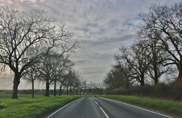
51.67514,-1.65721 23/03/2019 David Howard CC BY-SA 2.0 0.21 kms (ESE)
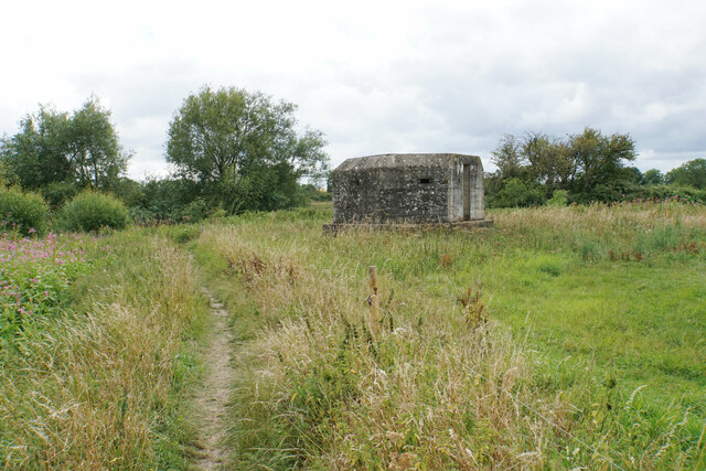
51.68064,-1.66194 05/08/2020 Bill Boaden CC BY-SA 2.0 0.53 kms (NNW)
51.67423,-1.6549 16/08/2017 Brian Westlake CC BY-SA 2.0 0.39 kms (ESE)
51.67423,-1.6549 16/08/2017 Brian Westlake CC BY-SA 2.0 0.39 kms (ESE)
51.67431,-1.65467 16/08/2017 Brian Westlake CC BY-SA 2.0 0.4 kms (ESE)
51.67431,-1.65467 16/08/2017 Brian Westlake CC BY-SA 2.0 0.4 kms (ESE)
51.68073,-1.66324 11/07/2018 Des Blenkinsopp CC BY-SA 2.0 0.57 kms (NNW)
51.68145,-1.66208 05/08/2020 Bill Boaden CC BY-SA 2.0 0.62 kms (NNW)
51.68163,-1.66251 26/04/2016 David Purchase CC BY-SA 2.0 0.65 kms (NNW)
51.67615,-1.66603 01/01/1970 Milestone Society CC BY-SA 2.0 0.43 kms (W)
51.68161,-1.65615 05/08/2020 Bill Boaden CC BY-SA 2.0 0.67 kms (NNE)
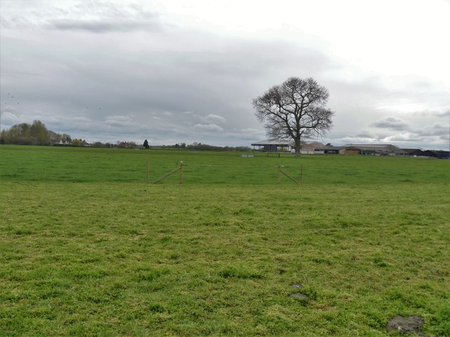
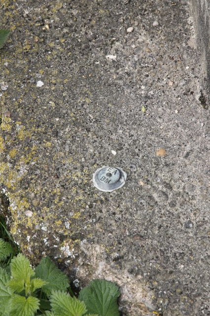
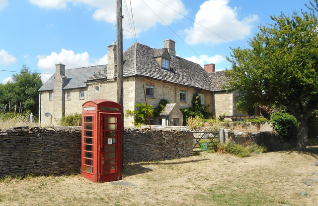
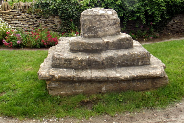
51.67607,-1.66704 01/01/1970 Des Blenkinsopp CC BY-SA 2.0 0.5 kms (W)
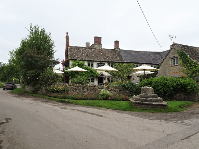
51.67625,-1.66733 16/09/2014 don cload CC BY-SA 2.0 0.52 kms (W)
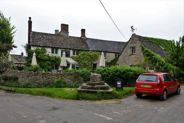
51.67589,-1.66776 14/09/2020 Des Blenkinsopp CC BY-SA 2.0 0.55 kms (W)
51.68164,-1.6657 05/08/2020 Bill Boaden CC BY-SA 2.0 0.74 kms (NW)
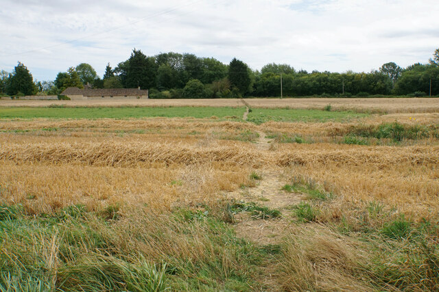
51.67769,-1.66818 26/04/2018 David Martin CC BY-SA 2.0 0.61 kms (WNW)
51.67877,-1.66818 26/04/2018 David Martin CC BY-SA 2.0 0.65 kms (WNW)
51.68092,-1.66744 03/04/2019 Michael Dibb CC BY-SA 2.0 0.76 kms (NW)
51.68021,-1.66845 11/07/2018 Des Blenkinsopp CC BY-SA 2.0 0.75 kms (NW)
51.67994,-1.6686 01/01/1970 Robert Gourley CC BY-SA 2.0 0.74 kms (NW)
51.68102,-1.66816 26/04/2018 David Martin CC BY-SA 2.0 0.8 kms (NW)
51.68102,-1.66845 03/04/2019 Michael Dibb CC BY-SA 2.0 0.81 kms (NW)
51.68102,-1.66845 26/04/2016 David Purchase CC BY-SA 2.0 0.81 kms (NW)
51.68075,-1.66874 03/04/2019 Michael Dibb CC BY-SA 2.0 0.81 kms (NW)
51.68111,-1.66859 03/04/2019 Michael Dibb CC BY-SA 2.0 0.83 kms (NW)
51.68147,-1.66859 03/04/2019 Michael Dibb CC BY-SA 2.0 0.85 kms (NW)
51.68147,-1.66859 26/04/2018 David Martin CC BY-SA 2.0 0.85 kms (NW)
51.6812,-1.66989 05/08/2020 Bill Boaden CC BY-SA 2.0 0.9 kms (NW)
51.68327,-1.67234 01/01/1970 Des Blenkinsopp CC BY-SA 2.0 1.18 kms (NW)
51.68148,-1.67336 05/08/2020 Basher Eyre CC BY-SA 2.0 1.11 kms (WNW)
51.68148,-1.67351 05/08/2020 Basher Eyre CC BY-SA 2.0 1.12 kms (WNW)
51.68202,-1.67336 05/08/2020 Basher Eyre CC BY-SA 2.0 1.15 kms (NW)
51.68148,-1.6738 05/08/2020 Basher Eyre CC BY-SA 2.0 1.14 kms (WNW)
51.68202,-1.67379 05/08/2020 Bill Boaden CC BY-SA 2.0 1.17 kms (NW)
51.68374,-1.64514 11/07/2018 Des Blenkinsopp CC BY-SA 2.0 1.32 kms (NE)
51.68355,-1.67494 05/08/2020 Bill Boaden CC BY-SA 2.0 1.34 kms (NW)
51.6849,-1.6447 11/07/2018 Des Blenkinsopp CC BY-SA 2.0 1.43 kms (NE)
51.6849,-1.64455 15/03/2014 Vieve Forward CC BY-SA 2.0 1.44 kms (NE)
51.68535,-1.64455 10/05/2018 Dave Kelly CC BY-SA 2.0 1.48 kms (NE)
51.68113,-1.67713 03/04/2019 Michael Dibb CC BY-SA 2.0 1.32 kms (WNW)
51.68535,-1.64397 05/08/2020 Bill Boaden CC BY-SA 2.0 1.5 kms (NE)
51.68041,-1.678 03/04/2019 Michael Dibb CC BY-SA 2.0 1.34 kms (WNW)
51.68535,-1.64339 26/04/2016 David Purchase CC BY-SA 2.0 1.53 kms (NE)
51.69166,-1.64913 05/08/2020 Bill Boaden CC BY-SA 2.0 1.89 kms (NNE)
51.69166,-1.6487 11/07/2018 Des Blenkinsopp CC BY-SA 2.0 1.9 kms (NNE)
51.68733,-1.67535 05/08/2020 Bill Boaden CC BY-SA 2.0 1.65 kms (NW)
51.68957,-1.67403 03/04/2019 Michael Dibb CC BY-SA 2.0 1.8 kms (NW)
51.6893,-1.67432 03/04/2019 Michael Dibb CC BY-SA 2.0 1.78 kms (NW)
51.685,-1.67753 10/09/2019 David Howard CC BY-SA 2.0 1.58 kms (NW)
51.69192,-1.64725 11/07/2018 Des Blenkinsopp CC BY-SA 2.0 1.97 kms (NNE)
51.68096,-1.67959 03/04/2019 Michael Dibb CC BY-SA 2.0 1.47 kms (WNW)
51.68534,-1.64151 05/08/2020 Bill Boaden CC BY-SA 2.0 1.63 kms (NE)
51.69192,-1.64652 05/08/2020 Bill Boaden CC BY-SA 2.0 1.99 kms (NNE)
51.6857,-1.64064 05/08/2020 Bill Boaden CC BY-SA 2.0 1.7 kms (NE)
51.68606,-1.6402 06/05/2012 Bill Nicholls CC BY-SA 2.0 1.75 kms (NE)
51.68606,-1.6402 06/05/2012 Bill Nicholls CC BY-SA 2.0 1.75 kms (NE)
51.68606,-1.6402 06/05/2012 Bill Nicholls CC BY-SA 2.0 1.75 kms (NE)
51.68615,-1.6402 06/05/2012 Bill Nicholls CC BY-SA 2.0 1.76 kms (NE)
51.68642,-1.6402 06/05/2012 Bill Nicholls CC BY-SA 2.0 1.78 kms (NE)
51.68615,-1.64006 06/05/2012 Bill Nicholls CC BY-SA 2.0 1.76 kms (NE)
51.692,-1.64435 05/08/2020 Bill Boaden CC BY-SA 2.0 2.07 kms (NNE)
51.68949,-1.67808 25/10/2020 Vieve Forward CC BY-SA 2.0 1.96 kms (NW)
51.68914,-1.67837 13/07/2019 Philip Pankhurst CC BY-SA 2.0 1.94 kms (NW)
51.68669,-1.63948 05/08/2020 Bill Boaden CC BY-SA 2.0 1.83 kms (NE)
51.68957,-1.64104 11/07/2018 Des Blenkinsopp CC BY-SA 2.0 1.98 kms (NE)
51.68993,-1.64119 02/06/2018 Michael Garlick CC BY-SA 2.0 2.01 kms (NE)
51.68984,-1.64104 26/06/2019 Nigel Thompson CC BY-SA 2.0 2.01 kms (NE)
51.69595,-1.67196 05/08/2020 Bill Boaden CC BY-SA 2.0 2.37 kms (NNW)
51.69002,-1.64104 26/06/2019 Tiger CC BY-SA 2.0 2.02 kms (NE)
51.68984,-1.6409 02/06/2018 Michael Garlick CC BY-SA 2.0 2.01 kms (NE)
51.68758,-1.63932 02/06/2018 Michael Garlick CC BY-SA 2.0 1.91 kms (NE)
51.68758,-1.63932 02/06/2018 Michael Garlick CC BY-SA 2.0 1.91 kms (NE)
51.68923,-1.67967 13/07/2019 Philip Pankhurst CC BY-SA 2.0 2.01 kms (NW)
51.69721,-1.67093 05/08/2020 Bill Boaden CC BY-SA 2.0 2.47 kms (NNW)
51.69642,-1.64721 28/05/2018 Vieve Forward CC BY-SA 2.0 2.43 kms (NNE)
51.68947,-1.63989 02/06/2018 Michael Garlick CC BY-SA 2.0 2.03 kms (NE)
51.68776,-1.63874 02/06/2018 Michael Garlick CC BY-SA 2.0 1.95 kms (NE)
51.68776,-1.63874 02/06/2018 Michael Garlick CC BY-SA 2.0 1.95 kms (NE)
51.68776,-1.63874 02/06/2018 Michael Garlick CC BY-SA 2.0 1.95 kms (NE)
51.6895,-1.67981 13/07/2019 Philip Pankhurst CC BY-SA 2.0 2.03 kms (NW)
51.69073,-1.6406 02/06/2018 Michael Garlick CC BY-SA 2.0 2.1 kms (NE)
51.69109,-1.64074 02/06/2018 Michael Garlick CC BY-SA 2.0 2.13 kms (NE)
51.68812,-1.6386 26/06/2019 Nigel Thompson CC BY-SA 2.0 1.99 kms (NE)
51.69165,-1.67864 10/09/2019 David Howard CC BY-SA 2.0 2.17 kms (NW)
51.68959,-1.68025 13/07/2019 Philip Pankhurst CC BY-SA 2.0 2.06 kms (NW)
51.68866,-1.63859 05/08/2020 Bill Boaden CC BY-SA 2.0 2.03 kms (NE)
51.69183,-1.67893 10/09/2019 David Howard CC BY-SA 2.0 2.2 kms (NW)
51.68587,-1.63702 11/07/2018 Des Blenkinsopp CC BY-SA 2.0 1.91 kms (NE)
51.68911,-1.63859 11/07/2018 Des Blenkinsopp CC BY-SA 2.0 2.06 kms (NE)
51.69244,-1.64102 25/04/2018 David Martin CC BY-SA 2.0 2.24 kms (NE)
51.69031,-1.6814 13/07/2019 Philip Pankhurst CC BY-SA 2.0 2.18 kms (NW)
51.68731,-1.63643 05/08/2020 Bill Boaden CC BY-SA 2.0 2.04 kms (NE)
51.68712,-1.63629 26/06/2019 Tiger CC BY-SA 2.0 2.04 kms (NE)
51.68987,-1.68242 13/07/2019 Philip Pankhurst CC BY-SA 2.0 2.19 kms (NW)
51.68784,-1.636 26/06/2019 Tiger CC BY-SA 2.0 2.1 kms (NE)
51.69005,-1.68299 05/08/2020 Bill Boaden CC BY-SA 2.0 2.23 kms (NW)
51.68748,-1.63513 05/08/2020 Bill Boaden CC BY-SA 2.0 2.12 kms (NE)
51.69113,-1.68559 05/08/2020 Bill Boaden CC BY-SA 2.0 2.44 kms (NW)
51.6949,-1.68354 05/08/2020 Bill Boaden CC BY-SA 2.0 2.66 kms (NW)
51.69536,-1.68556 05/08/2020 Bill Boaden CC BY-SA 2.0 2.79 kms (NW)
51.69509,-1.68629 05/08/2020 Bill Boaden CC BY-SA 2.0 2.8 kms (NW)
51.69069,-1.68907 05/08/2020 Bill Boaden CC BY-SA 2.0 2.59 kms (NW)
51.69348,-1.68991 13/07/2019 Philip Pankhurst CC BY-SA 2.0 2.84 kms (NW)
51.69384,-1.6902 14/09/2019 Alan Hughes CC BY-SA 2.0 2.88 kms (NW)
51.69384,-1.69049 25/10/2020 Vieve Forward CC BY-SA 2.0 2.9 kms (NW)
51.69384,-1.69063 14/09/2019 Alan Hughes CC BY-SA 2.0 2.9 kms (NW)
51.69411,-1.69092 14/09/2019 Alan Hughes CC BY-SA 2.0 2.94 kms (NW)
51.69448,-1.69121 10/09/2019 David Howard CC BY-SA 2.0 2.98 kms (NW)
51.69466,-1.69135 10/09/2019 David Howard CC BY-SA 2.0 3 kms (NW)
51.68079,-1.62202 14/09/2020 Des Blenkinsopp CC BY-SA 2.0 2.66 kms (ENE)
51.6802,-1.69883 11/10/2009 andrew auger CC BY-SA 2.0 2.73 kms (W)
51.68555,-1.62126 05/08/2020 Basher Eyre CC BY-SA 2.0 2.86 kms (ENE)
51.68555,-1.62126 05/08/2020 Basher Eyre CC BY-SA 2.0 2.86 kms (ENE)
51.68555,-1.62126 05/08/2020 Basher Eyre CC BY-SA 2.0 2.86 kms (ENE)
51.68555,-1.62126 05/08/2020 Basher Eyre CC BY-SA 2.0 2.86 kms (ENE)

51.68555,-1.62126 05/08/2020 Basher Eyre CC BY-SA 2.0 2.86 kms (ENE)
51.68555,-1.62126 05/08/2020 Basher Eyre CC BY-SA 2.0 2.86 kms (ENE)
51.68555,-1.62126 05/08/2020 Basher Eyre CC BY-SA 2.0 2.86 kms (ENE)
51.68555,-1.62126 05/08/2020 Basher Eyre CC BY-SA 2.0 2.86 kms (ENE)
51.68555,-1.62126 05/08/2020 Basher Eyre CC BY-SA 2.0 2.86 kms (ENE)
51.68555,-1.62126 05/08/2020 Basher Eyre CC BY-SA 2.0 2.86 kms (ENE)
51.68555,-1.62126 05/08/2020 Basher Eyre CC BY-SA 2.0 2.86 kms (ENE)
51.68555,-1.62126 05/08/2020 Basher Eyre CC BY-SA 2.0 2.86 kms (ENE)
51.68555,-1.62126 05/08/2020 Basher Eyre CC BY-SA 2.0 2.86 kms (ENE)
51.68519,-1.62112 05/08/2020 Basher Eyre CC BY-SA 2.0 2.85 kms (ENE)
51.69224,-1.69643 25/10/2020 Vieve Forward CC BY-SA 2.0 3.1 kms (NW)

51.69332,-1.69816 03/04/2019 Michael Dibb CC BY-SA 2.0 3.27 kms (NW)
51.69306,-1.69874 03/04/2019 Michael Dibb CC BY-SA 2.0 3.28 kms (NW)
51.69252,-1.69976 03/04/2019 Michael Dibb CC BY-SA 2.0 3.31 kms (WNW)